This district elects one MLA. Voters mark one name on Saturday, October 24, 2026, and the candidate with the most votes wins the seat.
Vancouver-Quilchena is a provincial electoral district in the south-west of the City of Vancouver, north of the Fraser River. It takes in the xʷməθkʷəy̓əm reserve (Musqueam 2), Arbutus Ridge, Kerrisdale, Shaughnessy and Dunbar-Southlands. The 2021 census counted 56,965 people in it, and the Electoral Boundaries Commission gives its area as 24 square kilometres.
Vancouver-Quilchena lies in the south-west of the City of Vancouver, beside the Fraser River. The Electoral Boundaries Commission's 2023 final report says it includes the xʷməθkʷəy̓əm First Nation reserve (Musqueam 2), Arbutus Ridge, Kerrisdale, Shaughnessy and Dunbar-Southlands. It extends from the Fraser River in the south to W 16th Avenue in the north. The western boundary follows the border of the UBC Endowment Lands and W King Edward Avenue to Dunbar Street, then Dunbar Avenue to W 16th Avenue. The eastern boundary follows Oak Street, Granville Street and Angus Drive. The commission counted 56,957 people in 24 square kilometres, 5.9% from the average district size.
The land slopes down to the river. The City of Vancouver says Kerrisdale slopes toward the Fraser, and the City's 1988 Southlands Plan describes the flat land south of SW Marine Drive as low ground inside the river's floodplain, with higher ground above it where houses look over the river delta. The City lists McCleery Golf Course and Musqueam Park under Dunbar-Southlands and Fraser River Park under Kerrisdale. The City's heritage statement says the railway developed Shaughnessy in three parts, and that First Shaughnessy runs from W 16th Avenue to W King Edward Avenue.
The City says Kerrisdale Village is the main shopping area. TransLink runs a RapidBus route named R4 41st Avenue from Joyce Station to UBC Exchange, with buses at least every 10 minutes at peak times and every 15 minutes at other times from 6 a.m. to midnight. The Arbutus Corridor, the 9-kilometre former interurban rail line, runs through Kerrisdale, and the City bought it from the Canadian Pacific Railway in March 2016 for walking, wheeling and cycling. In the 2021 census, 70.7% of residents named a car, truck or van as their main way to get to work, 14.3% public transit, 7.4% walking and 4% a bicycle.
The Musqueam name and the reserve south of Marine Drive
Musqueam gives its name in its own language as xʷməθkʷəy̓əm. On its story page it says the name relates to the flowering plant məθkʷəy̓, which once grew throughout its territory, and means the place where that plant grows. It describes its people as traditional hən̓q̓əmin̓əm̓-speaking people. Its territory page says its ancestors lived throughout and looked after the Fraser River estuary for thousands of years, and it lists the UBC Endowment Lands among the places that today bear other names within that territory.
Musqueam says many of its members live on a small part of that territory, the Musqueam Indian Reserve, south of Marine Drive near the mouth of the Fraser River. The Electoral Boundaries Commission calls the reserve Musqueam 2. The City of Vancouver says archaeological evidence shows people living in the Southlands area as early as 400 B.C., in at least three locations: the Angus Lands, Celtic Island and the Musqueam Reserve area. It says the reserve was formally dedicated in 1879. On 10 June 1976 Musqueam's elected leaders and members signed the Musqueam Declaration, which says Musqueam people hold Aboriginal title to the land and Aboriginal rights within the territory it describes.
The golf club lease and the Guerin ruling, 1957 to 1984
The Supreme Court of Canada records that the Shaughnessy Heights Golf Club was looking for a new site in the 1950s, because its lease from the Canadian Pacific Railway was due to end in 1960 and would not be renewed. The club turned to the Musqueam reserve, which the Court says held 416.53 acres inside the City of Vancouver. The trial judge found that the club's proposal reached the Band Council only in general terms, at its meeting of 7 April 1957. The Indian Affairs Branch of the federal government then signed a lease of 162 acres for the Band on 22 January 1958. The Court found its terms much less favourable than those the Band had approved. Musqueam's own page dates the lease to 1957 and says it ran for 75 years.
Musqueam says that Chief Delbert Guerin first saw the signed lease in 1970 and that the case was filed in 1975. The trial judge awarded the Band $10 million in damages, and the Federal Court of Appeal reversed that judgment. On 1 November 1984 the Supreme Court of Canada allowed the Band's appeal in Guerin v. The Queen. The Court held that the Crown, meaning the federal government, owes an obligation that courts can enforce to deal with reserve land for the benefit of the band. Musqueam marks 1 November each year as Musqueam Day, and its administration closes that day.
Farms, the interurban railway and the Municipality of Point Grey, 1867 to 1929
The City of Vancouver says the first settlers in Kerrisdale were the Irish McCleery brothers, who came in 1867 to farm the meadows where McCleery Golf Course now lies. It says the Canadian Pacific Railway built a line from Vancouver to Lulu Island because the Steveston fish canneries needed workers, and that the train, called the Sockeye Special, ran through Kerrisdale. A City report to Council says the line was completed in 1902 and that from 1905 to the early 1950s the Lulu Island Interurban Line carried passengers along the route now called the Arbutus Corridor. The City says Kerrisdale got its name in 1905, when the B.C. Electric Railway took over the line and an early resident, Mrs. MacKinnon, named the stop at Wilson Road, now 41st Avenue, after her old family home in Kerrydale, Scotland.
The City of Vancouver Archives records that the Corporation of Point Grey was established on 1 January 1908 under letters patent of 18 December 1907, and that the land had belonged to the District of South Vancouver since 1892. The City says Kerrisdale became the political centre of the new municipality, and that Kerrisdale Centennial Park is the site of the first municipal hall, which held a council chamber, offices, a police court and a two-cell jail. A two-room Kerrisdale School opened in 1908. The City says streetcars reached 41st Avenue in 1912. Point Grey joined the City of Vancouver on 1 January 1929.
Shaughnessy Heights and the Canadian Pacific Railway, 1885 to 2015
The City of Vancouver says the provincial government gave the Canadian Pacific Railway 6,000 acres in 1885, and that the company chose Shaughnessy Heights as the site of its best residential subdivision. In 1907 Richard Marpole, an officer of the railway, proposed an area that would draw wealthy families from the West End. The railway hired the landscape architect Frederick Todd and the engineer L.E. Davick to lay out curving streets and large lots. It required every house to cost at least $6,000, when a standard bungalow cost $1,000. The City's heritage statement for the area adds that the restrictions admitted only "racially appropriate" homeowners.
In 1914 the railway tried to make Shaughnessy a municipality separate from Point Grey. The province refused and passed the Shaughnessy Settlement Act of 1914, which limited the area to single-family houses. The Shaughnessy Heights Building Restriction Act of 1922 banned the division of lots. The Building Restriction Act expired in 1970, and Council passed a plan for First Shaughnessy in 1982. On 29 September 2015 Council enacted By-law No. 11349, which designated First Shaughnessy a heritage conservation area, a place where the City protects older buildings. The City says the area runs from W 16th Avenue to W King Edward Avenue, between Arbutus Street and the west lane of Oak Street.
Arbutus Ridge: a marsh, a golf club and a rail line, 1888 to 2016
The City of Vancouver says Arbutus Ridge was once uplands around a low marsh called Asthma Flats, and that in 1888 the Province gave 2,100 hectares in the area to the Canadian Pacific Railway. It was part of South Vancouver until 1908, then Point Grey, then Vancouver in 1929. The upland part, called Mackenzie Heights, filled with houses between 1912 and the 1930s. The City says sand brought from False Creek in the 1940s and 1950s filled the low ground for houses, schools and shops. It says the interurban railway was replaced by trolley buses in July 1952.
The Quilchena Golf and Country Club says that the word Quilchena was chosen as its name on 4 August 1925. A committee led by Dr. G.F. Strong leased railway land between King Edward and 33rd Avenue for a nine-hole course. In late 1951 the railway announced plans to subdivide the land, and the club says its leases would not be renewed after 31 December 1953. It says it moved to Richmond and had a new course ready by the summer of 1957. In March 2016 the City bought the Arbutus Corridor, a 9-kilometre former rail line, from the railway. The City's 2018 report on the Arbutus Greenway says the province granted that land to the railway in 1886.
Dunbar, schools and the Kerrisdale arena, 1908 to 2012
The City of Vancouver says that in 1908 the land around Dunbar, then owned by the railway and the province, was unsuitable for building because it had been logged and left covered with fallen, burnt timber. The first non-Indigenous settlers there, the Mounts, bought a lot in 1912. The streetcar reached Clare Road, now Dunbar Street, in 1913, and by 1927 the area had three streetcar routes. Lord Kitchener School opened at Blenheim Street and King Edward Avenue in 1914. The Vancouver School Board says a seismically upgraded school that includes the original 1914 frame building opened in October 2012.
In Kerrisdale, Maple Grove Elementary's history says the Point Grey School Board gave a contract in May 1912 for an eight-room school at Magee Road and Cypress Street. It says a school opened there in 1914 and a new school with 13 divisions opened in January 1925. The City says Vancouver's first rock and roll concert took place in the Kerrisdale Arena in 1956, when Bill Haley and the Comets played.
The Southlands Plan, approved by City Council on 8 March 1988, describes Southlands as the area along the Fraser River between Marpole and the UBC Endowment Lands, south of SW Marine Drive. It says most of the area is low flat land inside the river's floodplain, and that the flood risk and the cost of servicing the land are the main reasons it stayed a low-density area of golf courses, horse properties and nurseries. Before 1955 most of it was zoned for single-family houses. In 1955 the flat land was rezoned RA-1, a limited agricultural zone with a minimum lot of 2 1/4 acres.
The plan says that in 1981 investors who had assembled 33 acres at the Angus Lands applied to build 350 townhouses and apartments, that Council refused a second application for up to 60 houses in May 1984, and that in November 1984 Council funded a planning programme for all of Southlands. Southlands Riding Club says it was incorporated in 1943 with 40 members, that seven anonymous members bought sixteen acres for it in 1946, and that in 1986 the City stated that riding is a recognized recreation in Vancouver.
Musqueam says that in November 2018 it received funding approval from the BC Housing Indigenous Housing Fund for a multi-family housing project on the main Musqueam Reserve (IR #2), for Musqueam members and their families. The Musqueam Community Rental Complex will stand at Lot 95, Crown Place, and will include a childcare centre and a playground. The Musqueam Village (IR2) Plan, which Musqueam describes as an extension of its Comprehensive Community Plan, will guide future development and protection of the reserve. Musqueam's story page says its community has more than 1,300 members.
On 18 November 2022 David Eby was sworn in as British Columbia's 37th premier at the Musqueam Community Centre. The Province's release says the Musqueam Indian Band hosted the ceremony, the first swearing in hosted by a First Nation in British Columbia. Southlands Elementary says it is the school for students from Musqueam. Elections BC's 2024 results file places both the Musqueam Community Centre and Southlands Elementary among the voting places inside Vancouver-Quilchena.
Elections BC's volume for 1871 to 1986 prints no district named Vancouver-Quilchena. The volume for 1987 to 2001 says multi-member districts ended after the 1986 election and that the Electoral Districts Act of 1990 came into force when the 35th Parliament was dissolved on 19 September 1991. The name first appears at the general election of 17 October 1991, when Art Cowie of the Liberal Party won with 11,373 votes (49.53%), ahead of Stuart P. Hertzog of the New Democratic Party with 6,172 (26.88%) and Doug Mowat of Social Credit with 5,113 (22.27%). The volume prints that Cowie resigned on 9 November 1993. Gordon Campbell of the Liberal Party won the by-election of 17 February 1994 with 7,396 votes (67.77%), ahead of Sonja Weissenbacher of Social Credit with 1,536 (14.07%) and Fiona Wain of the New Democratic Party with 1,346 (12.33%).
Colin Hansen of the Liberal Party won in 1996 with 15,509 votes (68.68%) and in 2001 with 16,829 (73.86%). Elections BC's results file gives him 16,394 votes (67.16%) in 2005 and 15,731 (70.22%) in 2009. Andrew Wilkinson of the BC Liberal Party won with 14,496 votes (64.32%) in 2013, where Elections BC prints his name as Andrew Franklin Wilkinson, then with 12,464 (55.96%) in 2017 and 12,157 (56.04%) in 2020. Elections BC says the seat became vacant when Wilkinson resigned on 17 February 2022. Kevin Falcon won the by-election of 30 April 2022 with 6,200 votes (58.61%), ahead of Jeanette Ashe of the BC NDP with 2,590 (24.48%). Dallas Brodie, listed as Conservative, received 698 (6.60%).
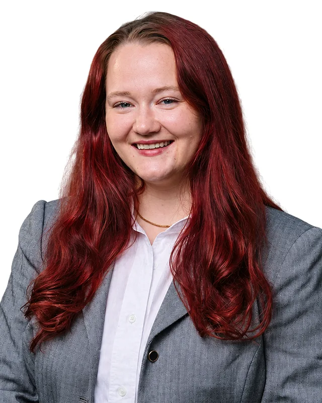
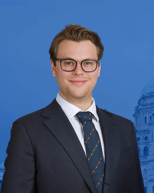
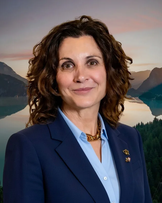
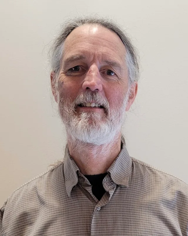
Brodie won the general election of 2024 with 11,464 votes (51.58%), ahead of Callista Ryan of the BC NDP with 8,649 (38.91%), Michael Barkusky of the BC Green Party with 1,729 (7.78%) and the independent Caroline Ying-Mei Wang with 385 (1.73%). Turnout was 58.45% of 38,080 registered voters. The records differ on her party. Elections BC's results file prints the Conservative Party. The legislature's member record, as saved for this page, lists her under the party name Independent for the 43rd Parliament, while its Votes and Proceedings of 18 February 2025 list her as Conservative Party. The Canadian Press reported, in an article published by CTV News, that the BC Conservative leader removed her from the party's caucus, the group of its members in the legislature, on 7 March 2025. Elections BC issued a recall petition against her on 21 May 2026. It needed 15,232 signatures by 20 July 2026, and Elections BC's list of recall petitions shows it failed for insufficient signatures. The legislature lists Falcon's party as BC United for the 42nd Parliament, and Elections BC prints BC Liberal Party. This profile prints each record and chooses neither.
The commission's 2023 final report changed the district. It moved Dunbar south of 16th Avenue from Vancouver-Point Grey into Vancouver-Quilchena and moved most of Shaughnessy into it, because it expected Vancouver-Quilchena to grow more slowly than other west side districts. It ran the line with Vancouver-Langara along 57th Avenue and Angus Drive, so that the historic centre of Marpole lies wholly in Vancouver-Langara. Elections BC's conversion table matches 60 of the district's voting areas to the earlier Vancouver-Quilchena, 5 to Vancouver-Fairview and 4 to Vancouver-Langara.
“Elected as” is the affiliation Elections BC printed with the winning result. The last column is the party the legislature’s records give for that parliament, which differs when a member changed party while in office. A row with that column empty is a winner Elections BC prints whom the legislature’s records leave out. Source: Legislative Assembly of British Columbia (opens in a new tab)
Boundaries since 2024
Vancouver-Quilchena has 70 voting areas. 60 of them overlap the district of the same name used from 2017 to 2024.Others overlap these districts from 2017 to 2024: Vancouver-Fairview (5), Vancouver-Langara (4).
The commission that drew the boundaries counted 56,957 people in the district, 5.9% above the average for a district, over 24 km².
Vancouver-Quilchena is a provincial electoral district in the south-west of the City of Vancouver. The Electoral Boundaries Commission's 2023 final report says it extends from the Fraser River in the south to W 16th Avenue in the north, and that Oak Street, Granville Street and Angus Drive form its eastern boundary. The commission counted 56,957 people in it, over 24 square kilometres.
Which neighbourhoods are in Vancouver-Quilchena?
Vancouver-Quilchena includes Arbutus Ridge, Kerrisdale, Shaughnessy and Dunbar-Southlands, together with the Musqueam 2 reserve, according to the Electoral Boundaries Commission. Elections BC's 2024 results file lists nine voting places in the district, among them Kerrisdale Elementary, Maple Grove Elementary, Lord Kitchener Elementary, Southlands Elementary, Prince of Wales Secondary, the Dunbar Community Centre and the Musqueam Community Centre.
Who is the MLA for Vancouver-Quilchena?
Dallas Brodie won Vancouver-Quilchena in the 2024 provincial election with 11,464 votes, 51.58% of the valid vote. Elections BC prints her party as the Conservative Party, and the legislature's member record lists her under the party name Independent for the 43rd Parliament. Callista Ryan of the BC NDP received 8,649 votes. A recall petition against Brodie in 2026 failed for insufficient signatures, Elections BC's list shows.
Who held Vancouver-Quilchena before Dallas Brodie?
Kevin Falcon held Vancouver-Quilchena before Dallas Brodie. He won the by-election of 30 April 2022 with 6,200 votes, after Andrew Wilkinson resigned on 17 February 2022. Wilkinson had won the seat in 2013, 2017 and 2020. Before him Colin Hansen held it from the 1996 election until 2013, according to the legislature's records.
How did Vancouver-Quilchena vote in 2024?
In the 2024 provincial election Vancouver-Quilchena gave Dallas Brodie of the Conservative Party 11,464 votes (51.58%), Callista Ryan of the BC NDP 8,649 (38.91%), Michael Barkusky of the BC Green Party 1,729 (7.78%) and the independent Caroline Ying-Mei Wang 385 (1.73%). Elections BC counted 22,227 valid votes and 32 rejected ballots, and turnout was 58.45% of 38,080 registered voters.
How did the 2023 boundary review change Vancouver-Quilchena?
The Electoral Boundaries Commission's 2023 final report moved Dunbar south of 16th Avenue into Vancouver-Quilchena from Vancouver-Point Grey and moved most of Shaughnessy into it. It also set the line with Vancouver-Langara along 57th Avenue and Angus Drive, so that the historic centre of Marpole lies wholly in Vancouver-Langara. The district now counts 56,957 people, 5.9% from the average district size.
Whose territory is Vancouver-Quilchena on?
Vancouver-Quilchena includes the Musqueam reserve, Musqueam 2, which the commission names in its description of the district. Musqueam, which gives its name as xʷməθkʷəy̓əm, says its ancestors lived throughout the Fraser River estuary for thousands of years and lists Vancouver among the places that now bear other names within its territory. Many members live on the reserve south of Marine Drive.
What was the Guerin case?
Guerin v. The Queen was a case about a lease of 162 acres of Musqueam reserve land to the Shaughnessy Heights Golf Club, signed on 22 January 1958. On 1 November 1984 the Supreme Court of Canada decided in favour of the Musqueam Indian Band. The Court held that the federal government owes an obligation, which courts can enforce, to deal with reserve land for the band's benefit. The commission places the Musqueam reserve in Vancouver-Quilchena.
Who lives in Vancouver-Quilchena?
The 2021 census counted 56,965 people in Vancouver-Quilchena, with a median age of 45.6 years against 42.8 for British Columbia. Of residents, 44.6% are immigrants and 55.4% belong to a visible minority group. English is the first language of 51.3%, Mandarin of 19.2% and Yue (Cantonese) of 9.9%. Owners hold 65.2% of homes, and the median home value is $3,020,000.
Where does the name Kerrisdale come from?
Kerrisdale, a neighbourhood in Vancouver-Quilchena, took its name in 1905, the City of Vancouver says. The B.C. Electric Railway had taken over the line from the Canadian Pacific Railway, and its general manager asked an early resident, Mrs. MacKinnon, to name the stop at Wilson Road, now 41st Avenue. She chose Kerrisdale after her old family home in Kerrydale, Scotland.
When was the district of Vancouver-Quilchena created?
Elections BC's volumes print the name Vancouver-Quilchena first at the general election of 17 October 1991, the first British Columbia election held entirely in single-member districts. Art Cowie of the Liberal Party won it with 11,373 votes. The volume for 1871 to 1986 prints no district with that name. The commission's 2023 report changed the boundaries, and the district now counts 56,957 people.