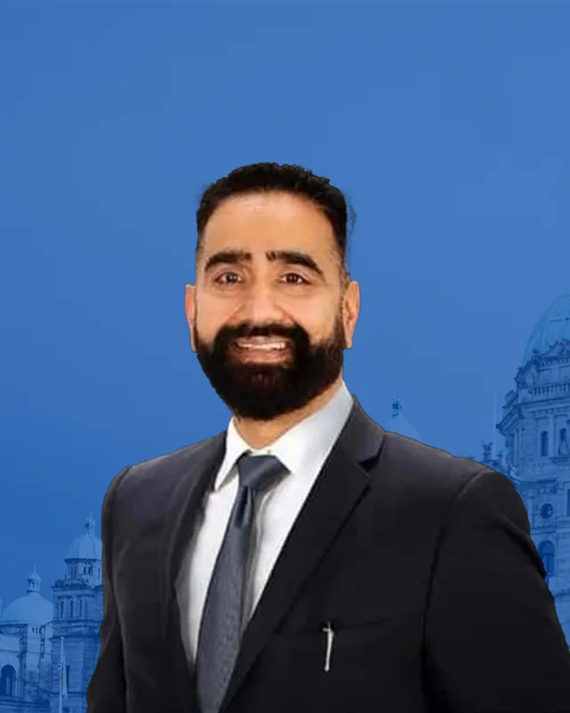
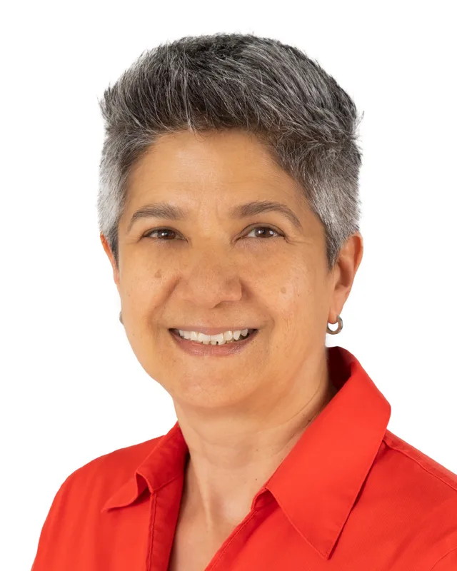
This district elects one MLA. Voters mark one name on Saturday, October 24, 2026, and the candidate with the most votes wins the seat.
Vancouver-Kensington is a provincial electoral district on the east side of the City of Vancouver. It takes in the southern half of the Kensington-Cedar Cottage neighbourhood, Mountain View Cemetery and parts of Sunset, from Kingsway in the north to E 49th Avenue in the south. The 2021 census counted 58,595 people, and the Electoral Boundaries Commission gives its area as 9 square kilometres.
Vancouver-Kensington lies on the east side of the City of Vancouver. The Electoral Boundaries Commission's 2023 final report says it includes the southern half of the Kensington-Cedar Cottage neighbourhood and Mountain View Cemetery. Its northern boundary runs along Kingsway. Its southwest boundary follows Ontario Street and E 49th Avenue, and its eastern boundary follows Nanaimo Street and Rupert Street. The commission counted 58,593 people in the district, which covers 9 square kilometres.
The City of Vancouver describes Kensington as the part of Kensington-Cedar Cottage south of Kingsway, from Fraser Street to Nanaimo Street, down to 41st Avenue. It says the neighbourhood lies in the centre of east Vancouver. South of 41st Avenue the district reaches the northern part of Sunset, where John Oliver Secondary School stands at 530 East 41st Avenue, across the street from Mountain View Cemetery. In 2024, Elections BC listed 14 voting places inside the district, among them Kensington Community Centre, Victoria Drive Community Hall and five elementary schools.
The commission's map labels Kingsway, Fraser Street, Knight Street, Victoria Drive and Nanaimo Street. The City says the Kensington Community Centre stands at Knight Street and East 37th Avenue. On the south side, the commission placed the boundary with Vancouver-Langara on E 49th Avenue. That line crosses the Punjabi Market, whose northern edge the City's community plans place on E 48th Avenue.
Musqueam, Squamish and Tsleil-Waututh territory, and the trail that became Kingsway
Three Nations describe the land around Burrard Inlet and the Fraser River as their territory, each in its own words. The Musqueam Indian Band writes its name xʷməθkʷəy̓əm. Its website says Musqueam ancestors have lived throughout and looked after the Fraser River estuary for thousands of years, and that portions of its territory are now called Vancouver, Burnaby, Richmond and other names. On 10 June 1976 the elected leadership and the membership of Musqueam signed the Musqueam Declaration, which describes the boundaries of its territory.
The Squamish Nation, Sḵwx̱wú7mesh Úxwumixw, publishes a territory of 6,732 square kilometres, which it says reaches from Point Grey in the south to Roberts Creek in the west. Parts of present-day Vancouver, Burnaby and New Westminster are among the places it names, with all of Howe Sound, Burrard Inlet and English Bay. Tsleil-Waututh Nation, səlilwətaɬ, gives its name as People of the Inlet and describes a territory of 1,865 square kilometres that reaches north to Mount Garibaldi. The three pages speak of the City of Vancouver or the inlet as a whole, so this profile assigns no street of the district to one Nation.
Kingsway, the northern edge of the district, follows a route that Vancouver Is Awesome reports people used long before European settlers arrived. The same article says signs along the road reading Indigenous Trail Wagon Road are public art installed in 2012, and that one of them is the work of Sonny Assu.
A nursery, the interurban railway and Kingsway, 1888 to 1913
The City of Vancouver says the Kensington-Cedar Cottage area stayed unsettled until 1888, when Arthur Wilson bought 16 hectares at the corner of Knight Street and Westminster Highway, now Kingsway, and began the Cedar Cottage Nursery. Within a few years others bought large pieces of land around Trout Lake for farming. The City adds that the interurban line built in 1891 to join Vancouver and New Westminster opened up the area and brought merchants and more farmers.
The City names two historic neighbourhoods inside the combined name. Cedar Cottage lies north of Kingsway. Kensington lies south of Kingsway to 41st Avenue, between Fraser and Nanaimo Streets, and is the part that falls inside this district. The old village centre grew up around Commercial Drive. The City says that as cars became popular in the 1910s and 1920s, Kingsway became a major road and drew businesses south, away from that centre.
Vancouver Is Awesome reports that the road, then called Westminster Road, was paved and renamed Kingsway in 1913, and that the work was paid for mostly by the City with landowners along the road adding their share. It was opened with speeches and an automobile parade.
The City of Vancouver Archives records that the Corporation of the District of South Vancouver was established on 13 April 1892 and covered all areas south of 16th Avenue except two named parcels. On 1 January 1908 the larger part became the separate Corporation of Point Grey. South Vancouver kept the east side from Cambie Street to Boundary Road, and it joined the City of Vancouver on 1 January 1929.
The City says that in 1893 South Vancouver had only 500 male voters, which was enough to persuade the B.C. Electric Railway to build a one-track streetcar line down Fraser Street. The City puts the 1911 population of South Vancouver at 35,000 and calls the figure approximate. Land bought for a dollar an acre was being divided and sold for $5,000 a lot along the business section of Fraser Street between 41st and 51st Avenues.
The City's heritage record for John Oliver Secondary School says its site at Fraser Street and 41st Avenue was the original location of the South Vancouver municipal hall, fire hall and a sports field. The Vancouver School Board adds that a city hall, a police department and a fire hall stood near 41st and Fraser.
Mountain View Cemetery lies west of Fraser Street between 31st and 43rd Avenues, at 5455 Fraser Street. The City of Vancouver says it has owned and operated the cemetery since 1886 and calls it Vancouver's only cemetery. The Canadian Register of Historic Places, which draws on the Province's Heritage Branch, says the cemetery opened in 1887. The two sources give different years, and this profile prints both.
The Register records that the oldest section, called the Old Cemetery, lies generally between 37th and 35th Avenues, where Japanese and Chinese Canadians were buried at the back of the grounds. It says more than 3,000 Japanese Canadians are buried there, and that Yasutaro Hirose, buried in 1893, was the first Japanese Canadian buried in the province. After the forced internment of Japanese Canadians in the Second World War, some plots they had bought were left unclaimed.
In 2021 the Register listed the cemetery. The City says it is now carrying out a perimeter plan, and that the pedestrian entrance at Prince Edward Street and 32nd Avenue was permanently closed on 8 December 2025, with the entrance at East 33rd Avenue to be upgraded.
The Vancouver School Board says Sir Richard McBride Elementary School, at 29th Avenue and Culloden Street, was founded in 1911, and that its annex was built in 1964. In 1912 a teacher named John Palmer was asked to start a high school in South Vancouver. He began in two rooms at what is now Lord Selkirk Elementary, then moved his students to a building at 49th Avenue and Knight Street that later became Sir Sandford Fleming Elementary.
A purpose-built South Vancouver High School opened near Fraser Street in 1921, beside 43rd Avenue. The provincial government insisted that it be named for the sitting premier, John Oliver. The school board says Palmer refused to acknowledge the new name and students kept wearing South Vancouver jerseys into the 1930s. The Canadian Register dates the complex from 1920 and calls the school the first, and for many years the only, high school in South Vancouver.
The City of Vancouver Archives records that the Victoria Drive Community Hall Association formed in 1922. The South Vancouver council gave the site at 44th Avenue and Victoria Drive for a rent of one dollar for 20 years, and Greater Vancouver merchants gave labour and materials. The Archives calls it the first community hall in Vancouver. In 1930 Sir Alexander Mackenzie School was completed at 960 East 39th Avenue, and the City says it is one of the earliest surviving examples of the cast-in-place concrete method pioneered by the architects Townley and Matheson.
After amalgamation: John Oliver, new housing and the community centre, 1929 to the present
The City says Sunset kept a rural feel after the 1929 amalgamation until the Second World War, and that in the late 1940s farmland was used to house returning veterans. John Oliver Secondary grew with the neighbourhood. The school board lists a gymnasium in 1940 and an L-shaped three-storey building along 41st Avenue in 1950, a 940-seat auditorium in 1954, a technical wing in 1965 and a larger library in 1970. It reports that a fire destroyed the 1921 building in 1959, and says the baby boom after the war made it the largest high school in the country.
The City's heritage record says the 1950s additions followed a design the school board commissioned from private architects after the province promised half the cost in 1950, and credits the Vancouver firm Mercer and Mercer. It lists the school's 1920s wooden building, called the barn, as still standing. The school board says 106 of its former students died in the Second World War, and that it has welcomed British, German, Chinese, Indian and Filipino families in successive decades.
The City says the Kensington Community Centre stands at Knight Street and East 37th Avenue and runs a 15-metre indoor pool.
The Punjabi Market and Little Saigon, 1970 to 2019
The City of Vancouver says the first shop in the Punjabi Market, Shaan Sharees and Drapery, was opened in 1970 by Sucha Singh Claire, and that other businesses followed. The City reports that the first Vaisakhi parade in Vancouver passed through the market in 1979. It says many businesses left in the early 2000s, that City Council asked for a plan to sustain the market in 2016, and that in 2019 Heritage Vancouver added the market to its list of the ten most endangered heritage sites.
The commission's 2023 final report says that after hearing concerns that its preliminary boundary divided the Punjabi Market, it reviewed the line between this district and Vancouver-Langara. The northern boundary of the market in the City's plans runs along E 48th Avenue, and the commission placed the district boundary on E 49th Avenue. It said it could not move the line further north without a large population gap between the two districts.
Kingsway forms the northern boundary of the district. The Royal BC Museum records that between 1979 and 1980 Canada focused on bringing 60,000 refugees to the country, that 7,361 refugees came to British Columbia, and that three-quarters of those were Vietnamese. It adds that street signs along Kingsway in Vancouver mark the neighbourhood of Little Saigon. MONTECRISTO magazine reports that the 1970s and 1980s brought new residents to this stretch of Kingsway and earned it that nickname.
Elections BC's volume for 1871 to 1986 prints no district named Vancouver-Kensington. Its volume for 1987 to 2001 prints results under the name from the 35th general election, held on 17 October 1991, held after the Electoral Districts Act of 1990 came into force. Ujjal Dosanjh of the New Democratic Party won with 8,323 votes (46.85%), ahead of Ted Olynyk of the Liberal Party with 4,700 (26.45%) and Gim Huey of the Social Credit Party with 4,389 (24.70%). On 28 May 1996 he won again with 9,496 votes (50.74%), and Huey, now a Liberal, received 7,608 (40.65%).
The same volume lists Dosanjh as Premier from 24 February 2000 until 5 June 2001. On 16 May 2001 Patrick Wong of the Liberal Party won the district with 9,162 votes (47.56%), and Dosanjh received 7,478 (38.82%). The volume for 2002 to 2013 prints David Chudnovsky of the NDP as the winner on 17 May 2005 with 10,573 votes (49.97%), ahead of Wong with 8,949 (42.29%). Mable Elmore of the NDP won on 12 May 2009 with 9,930 votes (52.55%) and on 14 May 2013 with 10,687 (51.37%).
Elmore won again in 2017 with 12,503 votes (55.57%), in 2020 with 12,481 (59.97%) and in 2024 with 11,713 (60.9%). Syed Mohsin of the Conservative Party received 6,061 votes (31.52%) in 2024, and Amy Fox of the BC Green Party received 1,458 (7.58%). Turnout was 51.57% of 37,396 registered voters. The legislature's record lists Dosanjh in the 35th and 36th Parliaments, Wong in the 37th, Chudnovsky in the 38th and Elmore from the 39th to the 43rd. For each election the volumes cover, they and the legislature's record name the same person.
The commission's 2023 final report made minor adjustments to the boundaries of this district and its neighbours, Vancouver-Langara, Vancouver-Fraserview and Vancouver-Kingsway, to balance their populations. It also moved Oakridge from Vancouver-Langara into Vancouver-Little Mountain and made minor adjustments between Langara and Kensington. Elections BC's conversion table matches the district's 59 voting areas to the 2017 to 2024 districts: 52 in Vancouver-Kensington, 5 in Vancouver-Kingsway and 2 in Vancouver-Langara.
“Elected as” is the affiliation Elections BC printed with the winning result. The last column is the party the legislature’s records give for that parliament, which differs when a member changed party while in office. A row with that column empty is a winner Elections BC prints whom the legislature’s records leave out. Source: Legislative Assembly of British Columbia (opens in a new tab)
Boundaries since 2024
Vancouver-Kensington has 59 voting areas. 52 of them overlap the district of the same name used from 2017 to 2024.Others overlap these districts from 2017 to 2024: Vancouver-Kingsway (5), Vancouver-Langara (2).
The commission that drew the boundaries counted 58,593 people in the district, 9.0% above the average for a district, over 9 km².
Vancouver-Kensington is a provincial electoral district on the east side of the City of Vancouver. The Electoral Boundaries Commission's 2023 final report says its northern boundary runs along Kingsway, its southwest boundary follows Ontario Street and E 49th Avenue, and its eastern boundary follows Nanaimo Street and Rupert Street. The commission gives its area as 9 square kilometres.
Which communities are in Vancouver-Kensington?
Vancouver-Kensington includes the southern half of the Kensington-Cedar Cottage neighbourhood and Mountain View Cemetery, according to the commission's 2023 final report. Elections BC's 2024 results file lists 14 voting places inside the district, among them Kensington Community Centre, Victoria Drive Community Hall, John Oliver Secondary School and Sir Alexander MacKenzie Elementary School. The City places John Oliver in Sunset.
Who won Vancouver-Kensington in the 2024 provincial election?
Mable Elmore of the BC NDP won Vancouver-Kensington in 2024 with 11,713 votes, 60.9% of the valid vote. Syed Mohsin of the Conservative Party received 6,061 votes and Amy Fox of the BC Green Party received 1,458. Turnout was 51.57% of 37,396 registered voters, according to Elections BC's results file.
Who represented Vancouver-Kensington before Mable Elmore?
David Chudnovsky of the NDP represented Vancouver-Kensington before Mable Elmore. He won on 17 May 2005 with 10,573 votes, 49.97%, according to Elections BC's volume for 2002 to 2013. Elmore first won the district on 12 May 2009. Patrick Wong of the Liberal Party held it from 2001 to 2005, and Ujjal Dosanjh of the NDP held it from 1991 to 2001.
When was Vancouver-Kensington created?
The name Vancouver-Kensington first appears in Elections BC's volumes at the 35th general election on 17 October 1991, held under the Electoral Districts Act of 1990. Ujjal Dosanjh of the New Democratic Party won it with 8,323 votes, 46.85%. Elections BC's volume for 1871 to 1986 prints no district with that name.
How did the boundaries of Vancouver-Kensington change in 2023?
The commission's 2023 final report made minor adjustments to Vancouver-Kensington and three neighbouring districts to balance their populations, and it adjusted the line with Vancouver-Langara. Of the district's 59 voting areas, 52 were in the earlier Vancouver-Kensington, 5 in Vancouver-Kingsway and 2 in Vancouver-Langara. The commission counts 58,593 people, 9% from the average district.
Who lives in Vancouver-Kensington?
The 2021 census counted 58,595 people in Vancouver-Kensington, with a median age of 40.8 compared with 42.8 across British Columbia. Immigrants make up 49.1% of residents, against 29% in the province. English was the first language of 39.2% of residents and Yue (Cantonese) of 21.3%, followed by Tagalog at 6.4%, Vietnamese at 4.3% and Punjabi at 3.6%.
Whose territory is Vancouver-Kensington in?
The Musqueam Indian Band, xʷməθkʷəy̓əm, says portions of its territory are now called Vancouver, and the Squamish Nation, Sḵwx̱wú7mesh Úxwumixw, says its 6,732 square kilometres of traditional territory include parts of present-day Vancouver. Tsleil-Waututh Nation also describes the inlet as its territory. None of the three pages assigns a street in Vancouver-Kensington to one Nation.
What is Mountain View Cemetery?
Mountain View Cemetery lies inside Vancouver-Kensington, west of Fraser Street between 31st and 43rd Avenues at 5455 Fraser Street. The City of Vancouver says it has owned and operated it since 1886, while the Canadian Register of Historic Places says it opened in 1887. The Register says more than 3,000 Japanese Canadians are buried there.
When did this part of Vancouver join the city?
This part of Vancouver was in the Corporation of the District of South Vancouver, established on 13 April 1892, until the district joined the City of Vancouver on 1 January 1929, according to the City of Vancouver Archives. After 1908 the district ran from Cambie Street to Boundary Road, south of 16th Avenue.