This district elects one MLA. Voters mark one name on Saturday, October 24, 2026, and the candidate with the most votes wins the seat.
Richmond-Steveston is a provincial electoral district in the southwest corner of Richmond, on Lulu Island. It takes in the fishing village of Steveston, the Seafair neighbourhood and the shore of the Strait of Georgia and the South Arm of the Fraser River. The 2021 census counted 56,775 people in it, and the Electoral Boundaries Commission gives its area as 31 square kilometres.
The Electoral Boundaries Commission's 2023 final report says Richmond-Steveston includes the neighbourhoods of Steveston and Seafair. Its western boundary is the Strait of Georgia and its southern boundary follows the South Arm of the Fraser River. Its eastern boundary follows No. 3 Road and its northern boundary follows Blundell Road. The commission moved the residential area south of Blundell Road and west of Gilbert Road out of Richmond Centre and into this district. BC Geographical Names places Steveston at the southwest end of Lulu Island and Garry Point on the north side of the Fraser River, west of Steveston.
Richmond's main north to south numbered roads run parallel to each other, one mile apart, the City of Richmond Archives explains. The east to west roads were renamed in the 1930s, and Steveston Highway used to be No. 9 Road while Blundell Road was No. 18 Road. The commission's map of the district labels Steveston Highway and Steveston Island. Elections BC's 2024 results file lists voting places in the district that include Steveston Community Centre, Steveston United Church, Lord Byng Elementary and Hugh Boyd Secondary.
The Fraser River forms the south side of the district. The Steveston Harbour Authority says Steveston Harbour has two sites that cover more than 17.5 hectares and is home to more than 500 commercial fishing vessels. Parks Canada describes a line of fishing industry sites called Cannery Row that runs from Garry Point and the Gulf of Georgia Cannery in the west to London Heritage Farm in the east.
The Musqueam Indian Band, xʷməθkʷəy̓əm, says on its website that its ancestors have lived throughout the Fraser River estuary and looked after it for thousands of years. The band names Richmond as one of the places that make up portions of its territory today. The Richmond News reported in March 2021 that the river mouth moved west as the delta grew, and that Musqueam moved with it. The paper put Musqueam's territory at 144,888 hectares and described a village network there with sites at Terra Nova, Steveston and Garry Point.
The City of Richmond Archives writes that the Musqueam village at Garry Point was called kw’áýò7xw’, which it translates as Boiling (bubbling, churning) Water, after natural gas that bubbled in the Steveston Slough. The Richmond News spells the Garry Point village name q̓ʷeyaʔχʷ. Jason Woolman, Musqueam's archives and research manager, told the paper that the Bell Irving company wanted to build a cannery near that site in the late 1890s. He said the families who had lived there believed the land was set aside for them. They were paid for their houses and moved to the Musqueam reserve in Vancouver, and he said the government had bought the land in the 1860s.
The City of Richmond Archives says Manoah Steves reached British Columbia in 1877 and bought 400 acres in the southwestern part of Lulu Island. He was one of the people who asked the province to make Richmond a municipality, and he served on its first council. According to BC Geographical Names, the Township of Richmond dates from 10 November 1879. The Archives says the fishing village that grew up beside his farm was named Steveston in his honour. His great-grandson Harold Steves, described by the Archives as a long-serving Richmond city councillor, told the Richmond Sentinel that the place began around the farm wharf and was first called Steveston's Landing and then Steve's Town.
Other farmers worked the river bank. The Sentinel reports, from City Archives material, that Charles London and his brother farmed along the South Arm from 1881 to 1941, built a dyke by hand and made a landing at the end of No. 2 Road. The London farmhouse is now a heritage site on Dyke Road near Gilbert Road. In 1891 an advertisement in the Victoria Colonist invited bids on 400 lots in Steveston, and the Steveston Enterprise reported that natural gas rose through the water in local wells and ditches.
Canneries, Cannery Row and the river light, 1882 to 1911
Salmon canning became the main industry of Steveston. The Richmond Archives dates the opening of the English Cannery to 1882 and says more than twenty canneries were built along the one and one half mile waterfront of the South Arm. Two of those sites are now national historic sites. Parks Canada says the Britannia site was built as a cannery in 1890, kept that use until 1918, and then became a boat repair yard that worked until 1980. The Gulf of Georgia Cannery was built in 1894 and stopped operating in 1979 after serving as a salmon cannery and a herring reduction plant. Parks Canada calls Steveston historically the most important fishing village on the West Coast.
Ships needed marks to find the river. The Archives writes that a tall tree at Garry Point, known as the Leading Tree, guided mariners into the Fraser from the first chart in 1859 until a gale washed it away on 20 November 1891. A fixed red light was then added to Gamble's Observatory at Garry Point, a building first made as a tide gauge. The Archives adds that the Steveston Jetty, built in 1911, and dredging steadied the main channel.
Cannery companies also housed Indigenous workers. The City of Richmond's 2024 staff report says the building now called the First Nations Bunkhouse was built in the 1890s, probably by a cannery company, as housing for Indigenous seasonal workers. It says people from many coastal communities came to the Steveston area to support cannery work. The building stood on a slough farther inland until the late 1940s, when the Anglo-British Columbia Packing Company moved it to the Britannia site.
The Bulletin, a journal of Japanese Canadian history, records that Gihei Kuno, a fisherman from Mio-mura in Wakayama, visited Canada in 1887 and returned home to ask fellow villagers to settle in Steveston. The Archives says most of the first arrivals were men who fished, and they lived in bunkhouses built by the canneries. Later the canneries built small houses for families. The Japanese Fishermen's Benevolent Society was formed in 1897. In 1906 the Richmond School Board banned children of people who did not own property, which the Archives says deprived most Japanese Canadian children of an education and led to the Steveston Japanese School. The Japanese Fishermen's Hospital, Richmond's first, took over the community's medical needs in 1900 and operated until 1942.
By the 1930s, the Archives says, Japanese Canadians were between two thirds and three quarters of Steveston's people. Their businesses lined Moncton Street from No. 1 Road to Third Avenue, and included grocery stores, meat and fish markets, hardware stores and five candy shops. The Archives calls this area Japan Town.
Tomekichi Homma, who gave his name to Tomekichi Homma Elementary School in Steveston, settled in Steveston in 1883 according to most published accounts. The Bulletin timeline says he was president of the Japanese Fishermen's Association organized in Steveston in 1897. British Columbia had denied the vote to citizens of Asian origin in 1895. In 1900 Homma, a naturalized citizen, asked to be put on the voters' list. After the Collector of Voters refused, a BC judge ruled that the clause barring Asians from voting was beyond the province's powers. A Nikkei historical article reports that on 17 December 1902 the Privy Council in London reversed the BC courts, and Homma was prevented from voting.
A City of Richmond report says the Canadian Pacific Railway built a line on Lulu Island in 1902 for freight and passenger steam trains, and that in 1905 it leased the line to the British Columbia Electric Railway, which electrified it. In 1913 the company added 28 tramcars from the St. Louis Car Company, including Tramcar 1220. The last interurban tram between Marpole and Steveston ran on 28 February 1958. Tramcar 1220 now stands in a museum at 4011 Moncton Street, built around the original tracks across the street from where Steveston Station once stood. The Archives says Blundell Elementary took its name from the nearby interurban Blundell Station.
The gas under Steveston led to British Columbia's first officially recorded oil well, the Archives writes. The Steveston Land and Oil Company bought a lot on No. 1 Road in 1904, next to the Japanese Hospital, and began drilling. The shaft reached 1000 feet by April, a large pocket of gas was struck in August, and the flare could be seen from New Westminster. Fine silt blocked the pipes, costs grew, and the company abandoned the well in 1906. In 1930 and 1931 wells were drilled on Henry Fentiman's farm at 120 Garry Street. Fentiman heated his house with the gas for decades. City Council expropriated the farm in 1969, and the land now holds part of Steveston Park, the Steveston Buddhist Temple and the Lions Club seniors' housing.
Canada declared war on Japan on 8 December 1941, and the Bulletin timeline says the navy rounded up 1,200 Japanese fishing boats. Order-in-Council P.C. 1486 of 24 February 1942 let the Minister of Justice control the movements of all people of Japanese origin in the protected area on the coast, and mass removal began on 26 February. The Richmond News reported in 2013 that more than 2,000 Japanese Canadians were ordered out of Steveston, 80 per cent of the village, by the paper's figure, and that the last person of Japanese descent left on 1 April 1942. Before the removal, the paper said, 47 of the village's 62 recognized businesses were owned and run by Japanese Canadians. Bill McNulty, then a Richmond councillor and local historian, told the paper that 1,137 vessels were confiscated.
The Archives says families had their property taken, and that Steveston lost so many residents that it became almost empty. The federal government lifted the last restrictions on Japanese Canadians on 31 March 1949, and families who chose to come back rebuilt their community in Steveston. On 22 September 1988 the federal government announced a redress settlement with the National Association of Japanese Canadians.
Suburbs, schools and heritage protection, 1954 to 2024
Farmland became suburbs after the Second World War. The Richmond News says the neighbourhood known as Seafair, or West Richmond, took shape between 1955 and 1965. The Archives records the schools that followed: Blundell Elementary in 1954 and Steveston Secondary in 1955, then James Gilmore Elementary in 1959 for a new subdivision, Hugh Boyd Secondary in 1960 and Manoah Steves Elementary in 1964. The Sentinel adds Westwind Elementary in 1979 for the housing built between Steveston Highway, Moncton Street, No. 2 Road and Railway Avenue, Tomekichi Homma Elementary in 1990 and R.A. McMath Secondary in 1998. Steveston Secondary closed in 2005 and joined London Secondary to form Steveston-London Secondary, which opened in 2007.
Fishing continued from the same wharves. The Steveston Harbour Authority was set up in 1990 to run the harbour for commercial fishers. Parks Canada says the Gulf of Georgia Cannery Society and Parks Canada have worked together since the 1980s to keep the cannery open to visitors. The City designated Steveston Village a heritage conservation area in 2009, with 17 protected heritage buildings. On 11 December 2023 Richmond Council approved $6.5 million in its 2024 budget for a replica of the First Nations Bunkhouse, after a structural review found that the original building could not be saved safely. The report says representatives of the Musqueam Indian Band have expressed an interest in taking part in the interpretation planned for the building.
Elections BC's volume for 1871 to 1986 lists the city's seat under the name Richmond. In 1986 the district is marked (2), the volume's sign for a district that elected two members, and Social Credit's William Nick (Bill) Vander Zalm, with 29,762 votes, and Nick Loenen, with 25,983, won it. The volume for 1987 to 2001 first prints Richmond-Steveston at the 35th general election, held on 17 October 1991, when single-member districts replaced the multi-member ones. That volume lists three Richmond districts in 1991: Richmond Centre, Richmond East and Richmond-Steveston. Allan Warnke of the Liberal Party won Richmond-Steveston with 6,664 votes (38.32%), ahead of Harold Steves of the New Democratic Party with 6,054 (34.81%) and Nick Loenen of Social Credit with 4,609 (26.50%).
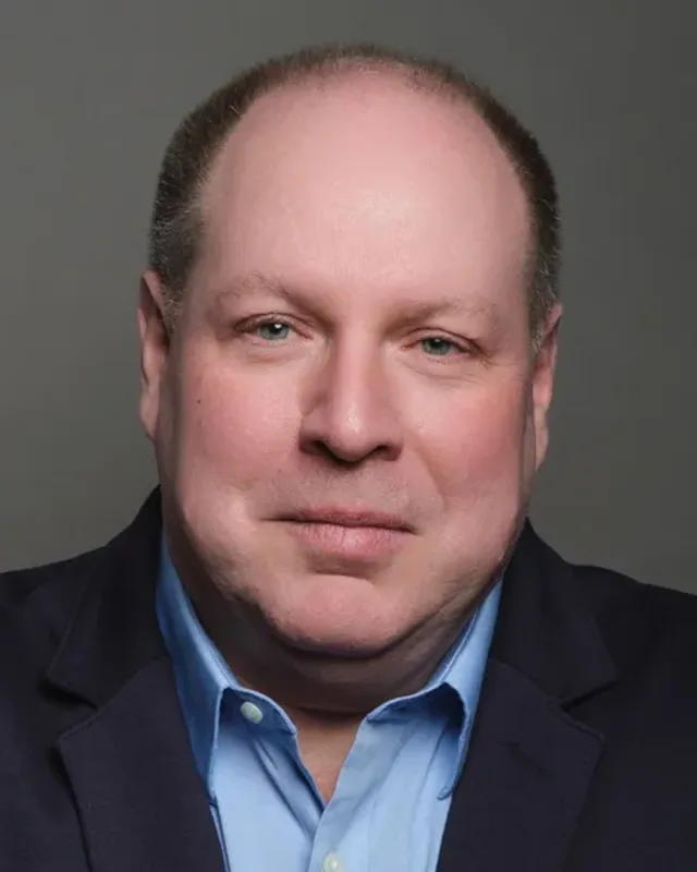
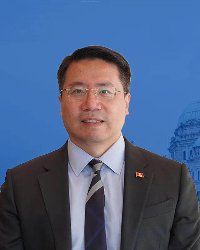
Geoff Plant of the Liberal Party won in 1996 with 9,643 votes (56.65%) and in 2001 with 14,508 (69.23%). John Yap of the BC Liberal Party won in 2005 with 13,859 votes, in 2009 with 13,168, in 2013 with 12,137 and in 2017 with 10,332. The BC NDP's Kelly Greene was the runner-up in 2017 with 8,542 votes, then won in 2020 with 10,733 votes against 9,398 for Matt Pitcairn of the BC Liberal Party. In 2024 Greene won again with 10,332 votes (44.27%), ahead of Michelle Mollineaux of the Conservative Party with 9,848 (42.20%). Turnout was 59.87% of 39,067 registered voters.
The commission's 2023 final report changed the district. It moved the residential area south of Blundell Road and west of Gilbert Road out of Richmond Centre and into Richmond-Steveston. The commission's table gives the earlier district 52,152 people and 92 square kilometres, and the new one 56,775 people and 31 square kilometres. Elections BC's conversion table matches the district's 72 voting areas to the 2017 to 2024 districts: 65 in Richmond-Steveston and 7 in Richmond South Centre.
“Elected as” is the affiliation Elections BC printed with the winning result. The last column is the party the legislature’s records give for that parliament, which differs when a member changed party while in office. A row with that column empty is a winner Elections BC prints whom the legislature’s records leave out. Source: Legislative Assembly of British Columbia (opens in a new tab)
Boundaries since 2024
Richmond-Steveston has 72 voting areas. 65 of them overlap the district of the same name used from 2017 to 2024.Others overlap these districts from 2017 to 2024: Richmond South Centre (7).
The commission that drew the boundaries counted 56,775 people in the district, 5.6% above the average for a district, over 31 km².
Richmond-Steveston is a provincial electoral district in the southwest corner of Richmond, British Columbia. The Electoral Boundaries Commission's 2023 final report gives its area as 31 square kilometres. Its western boundary is the Strait of Georgia, its southern boundary follows the South Arm of the Fraser River, its eastern boundary follows No. 3 Road and its northern boundary follows Blundell Road.
Which neighbourhoods are in Richmond-Steveston?
Richmond-Steveston includes the neighbourhoods of Steveston and Seafair, according to the commission's 2023 final report. The Richmond Sentinel places the Westwind housing area, between Steveston Highway, Moncton Street, No. 2 Road and Railway Avenue, next to Steveston Village. Elections BC's 2024 results file lists voting places in the district such as Steveston Community Centre and Lord Byng Elementary.
Who is the MLA for Richmond-Steveston?
Kelly Greene of the BC NDP was elected for Richmond-Steveston in 2020 and again in 2024, when she received 10,332 votes, or 44.27% of the vote. The legislature's record lists her for the 43rd Parliament. John Yap of the BC Liberal Party held the seat before her, from 2005 to 2020, and Geoff Plant held it from 1996 to 2005.
How did Richmond-Steveston vote in the 2024 provincial election?
In 2024 Kelly Greene of the BC NDP won Richmond-Steveston with 10,332 votes (44.27%). Michelle Mollineaux of the Conservative Party received 9,848 votes (42.20%), Jackie Lee, with no affiliation, received 2,354 and Elodie Vaudandaine of the BC Green Party received 803. Turnout was 59.87% of 39,067 registered voters.
How did the boundaries of Richmond-Steveston change in 2023?
The Electoral Boundaries Commission's 2023 final report moved the residential area south of Blundell Road and west of Gilbert Road from Richmond Centre into Richmond-Steveston. The district now has 56,775 people in 31 square kilometres, where the earlier district had 52,152 people in 92 square kilometres. Of its 72 voting areas, 65 were in Richmond-Steveston and 7 in Richmond South Centre.
Who lives in Richmond-Steveston?
The 2021 census counted 56,775 people in Richmond-Steveston, and 52.8% of them are immigrants. English is the first language of 42.6%, Mandarin of 18.8% and Yue (Cantonese) of 17.1%. The median age is 46.8 years, against 42.8 for British Columbia, and 77.9% of households own their home.
Where does the name Steveston come from?
Steveston, in the Richmond-Steveston district, is named after Manoah Steves. The City of Richmond Archives says he reached British Columbia in 1877 and bought 400 acres in the southwest of Lulu Island. The fishing village that grew up next to his farm took his name. His descendants, including Harold Steves, a long-serving Richmond city councillor, kept farming part of the land.
What is the Gulf of Georgia Cannery in Steveston?
The Gulf of Georgia Cannery is a national historic site in Steveston, in the Richmond-Steveston district. Parks Canada says the complex of wooden buildings was built in 1894 on a wharf over the South Arm of the Fraser River. It stopped working in 1979 and was designated a national historic site in 1976 for its link to the West Coast fishing industry.
What happened to Japanese Canadians in Steveston in 1942?
In 1942 more than 2,000 Japanese Canadians were ordered out of Steveston in the Richmond-Steveston district, the Richmond News reported, which the paper put at 80 per cent of the village. The federal government lifted its last restrictions on Japanese Canadians on 31 March 1949, and some families returned. Before 1942 the Japanese Canadian community had its own hospital and school in Steveston and ran many businesses on Moncton Street.
Whose territory is Richmond-Steveston in?
The Musqueam Indian Band says Richmond is among the places that are today portions of its territory, and Richmond-Steveston lies on the Fraser River estuary where Musqueam says its ancestors have lived for thousands of years. The Richmond News reported in 2021 that Musqueam's village sites included Steveston and Garry Point. The City of Richmond's 2024 report says Musqueam has expressed interest in the First Nations Bunkhouse project.