Three storms will hit West Vancouver from Tuesday to Thursday this week
Environment Canada issued a Special Weather Statement at 3:53 AM Monday for the North Shore, warning of significant rainfall and gusty winds from Tuesday through Thursday, with a BC River Forecast Centre advisory already in effect.
Long read. The subject the most local outlets covered that day, with the public record behind it. Every outlet and record is linked under the story. Read the original report on weather.gc.ca.

Three fall storms will move through West Vancouver from Tuesday to Thursday this week, according to a Special Weather Statement Environment Canada issued at 3:53 AM Pacific on Monday, November 9.
The statement covers Metro Vancouver's North Shore, including West Vancouver and North Vancouver, as well as the Sea to Sky corridor from Squamish to Whistler. The BC River Forecast Centre already has a High Streamflow Advisory in place for the South Coast and the Lower Fraser, issued and updated on November 6.
What the statement says
Environment Canada's statement says a series of strong fall storms is expected to bring significant rainfall and gusty southerly winds to parts of the BC coast from Tuesday through Thursday, November 10 to 12.
The forecast for the Cypress Park area shows 10 to 20 mm on Tuesday. Upslope terrain and higher elevations will receive the heaviest amounts, the statement says. The agency adds that rainfall warnings will be issued as the situation becomes clearer.
Rain is expected to begin this Monday afternoon. The forecast shows a high of 12°C Monday, with continuous rain through the rest of the week, including highs of 11 to 14°C Tuesday through Sunday.
The statement notes that high precipitation rates could lead to water pooling in areas with poor drainage, making localized flooding possible in some parts of the district.
Environment Canada asks residents to clear storm drains of leaves and debris before the rain arrives. Wet leaves accumulate quickly on North Shore streets in November and can block drains in an afternoon. A blocked drain can send water into a driveway, a basement entrance, or a low-lying section of road within hours.
What the River Forecast Centre says
The BC River Forecast Centre updated its High Streamflow Advisory for the South Coast and the Lower Fraser on November 6. The advisory says river levels are rising or expected to rise rapidly but that no major flooding is expected. Minor flooding in low-lying areas is possible.
The Centre advises people to monitor conditions at bcrfc.env.gov.bc.ca. The advisory covers a broad region and does not name specific North Shore streams or rivers. West Vancouver has several creeks that flow from the mountains through residential neighbourhoods before reaching the ocean, and their levels can rise quickly during heavy rain.
Roads and transit
As of Monday morning, DriveBC shows no road closures or advisories for Highway 1 or Highway 99 near West Vancouver. TransLink shows no active service alerts for the SeaBus or Blue Bus routes serving West Vancouver.
Both agencies can issue updates as the storms develop through the week. Highway 99 between West Vancouver and Horseshoe Bay runs alongside Howe Sound, where gusty southerly winds are forecast. Highway 1 through the Upper Levels carries commuters between West Vancouver and Vancouver and can be affected by debris or water on the road during heavy rain. Environment Canada asks residents to monitor DriveBC at drivebc.ca for road conditions.
The Horseshoe Bay ferry terminal is in West Vancouver and serves sailings to Bowen Island, the Sunshine Coast and Vancouver Island. BC Ferries can adjust service during strong winds. Its service notices are at bcferries.com/current-conditions.
Cypress Mountain and the trails
Cypress Mountain sits in the upslope terrain the weather statement identifies as the area of heaviest rainfall. The forecast for the Cypress Park area already shows 10 to 20 mm on Tuesday, and the statement says higher elevations will receive more. Its current operating status and any trail or lift closures are listed at cypressmountain.com. Conditions on mountain routes change quickly during heavy rain events.
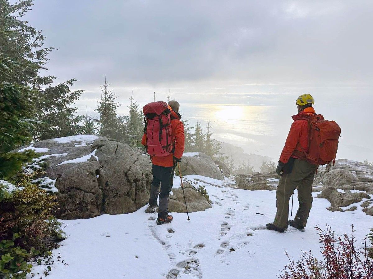
North Shore Rescue responds to calls in the West Vancouver mountains year round. Its non-emergency line is 778-338-6338. The team asks people heading into the mountains to check conditions first, tell someone their plans, and carry appropriate gear.
Stormwater and the new council
Mayor Kirk LaPointe wrote in his campaign platform of September 27, 2026 that he would strengthen the long-term plan for shoreline erosion, creek health, stormwater, habitat protection and climate adaptation. That is a campaign pledge. The new Council has not yet voted on stormwater or infrastructure plans, and the first regular council meeting of the new term has not yet been held.
The promise tracker on this site records each elected person's commitments and will record votes and decisions once the Council and Board of Education begin their regular work.
What to do before Tuesday
Environment Canada asks residents to clear storm drains of leaves and debris today. The agency also asks people to:
- Monitor forecasts at weather.gc.ca
- Check stream levels at bcrfc.env.gov.bc.ca
- Follow DriveBC at drivebc.ca for road conditions on Highway 1 and Highway 99
Residents with questions about local drainage or road conditions can contact the District of West Vancouver at westvancouver.ca. For power outages, BC Hydro takes reports through bchydro.com. If a situation is dangerous, call 911.
The storms are forecast to continue through Thursday, November 12. Environment Canada says it will issue rainfall warnings as the amounts become clearer. The first storm is expected Tuesday, November 10.
Questions this story answers
When will the storms hit West Vancouver this week?
Environment Canada's Special Weather Statement, issued at 3:53 AM Pacific on Monday November 9, 2026, says a series of strong fall storms will affect the North Shore from Tuesday through Thursday, November 10 to 12. Rain is expected to begin Monday afternoon and continue through the week. The statement says rainfall warnings may be issued as the situation becomes clearer.
How much rain is forecast for West Vancouver this week?
Environment Canada's Special Weather Statement issued November 9, 2026 says significant rainfall is expected, with upslope terrain and higher elevations receiving the heaviest amounts. The forecast for the Cypress Park area shows 10 to 20 mm on Tuesday. The statement notes that specific amounts will become clearer as rainfall warnings are issued. The statement covers Metro Vancouver's North Shore, including West Vancouver.
What is the BC River Forecast Centre advisory about?
The BC River Forecast Centre issued an update to its High Streamflow Advisory for the South Coast and Lower Fraser on November 6, 2026. The advisory says river levels are rising or expected to rise rapidly but that no major flooding is expected. Minor flooding in low-lying areas is possible. The advisory covers a broad area including the North Shore.
What should West Vancouver residents do to prepare for the storms?
Environment Canada's Special Weather Statement issued November 9, 2026 asks residents to clear storm drains of leaves and debris, monitor weather forecasts at weather.gc.ca, check the BC River Forecast Centre for streamflow conditions at bcrfc.env.gov.bc.ca, and follow DriveBC advisories for road conditions and travel recommendations. Residents can also report severe weather through Environment Canada's online reporting tools.
Will Highway 1 or Highway 99 near Horseshoe Bay be affected by the storms?
As of the morning of Monday November 9, 2026, there are no road closures or advisories on DriveBC for Highway 1 or Highway 99 near West Vancouver. Environment Canada advises residents to monitor DriveBC at drivebc.ca for any road conditions and travel recommendations that may be issued as the storms approach Tuesday through Thursday. Conditions on mountain routes can change quickly during heavy rain.
Are there any transit disruptions from the storms?
As of Monday November 9, 2026, TransLink shows no active service alerts for the SeaBus or any other transit service affecting West Vancouver. Residents can check TransLink's alerts page at translink.ca/alerts for updates as the storms develop from Tuesday through Thursday.
Is Cypress Mountain affected by the upcoming storms?
Cypress Mountain is in the upslope terrain that Environment Canada's Special Weather Statement says will receive the heaviest rainfall this week. The mountain's current operating status and any trail or lift closures can be checked at cypressmountain.com. The storms are forecast to bring significant rainfall at elevation from Tuesday November 10 through Thursday November 12.
What did Mayor Kirk LaPointe promise about stormwater in West Vancouver?
In his campaign platform of September 27, 2026, Kirk LaPointe wrote that he would strengthen the long-term plan for shoreline erosion, creek health, stormwater, habitat protection and climate adaptation. That is his pledge as a candidate; the new Council has not yet voted on it. The promise is tracked at /bc/west-vancouver-2026/candidates/kirk-lapointe on this site. The Council took office in early November 2026.
Sources
The pages this story draws on. Open one to check a claim yourself.
- Environment Canada, Special Weather Statement for Metro Vancouver North Shore and Sea to Sky, November 9, 2026weather.gc.ca
- BC River Forecast Centre, High Streamflow Advisory for South Coast and Lower Fraser, November 6, 2026bcrfc.env.gov.bc.ca
- Kirk LaPointe campaign platform, September 27, 2026kirklapointe.ca
- TransLink service alerts, November 9, 2026translink.ca
Found an error? Tell the editors with the corrections form. A correction is noted on the story it changes. Read our standards.