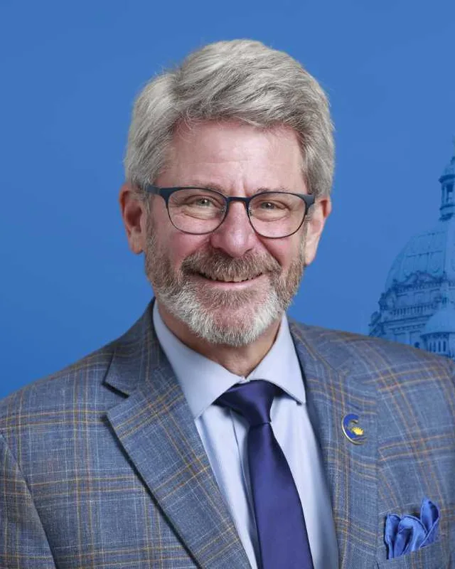
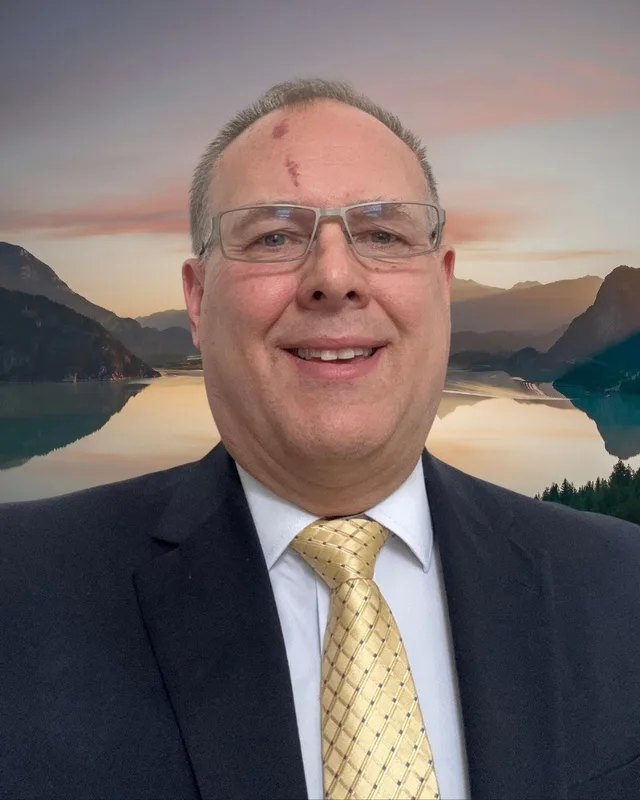
This district elects one MLA. Voters mark one name on Saturday, October 24, 2026, and the candidate with the most votes wins the seat.
Abbotsford South is a provincial electoral district in the Fraser Valley. It takes in Abbotsford's city centre, the neighbourhoods of Aberdeen, Poplar and Kilgard, and Sumas Mountain, with the Canada-U.S. border as its southern edge. The 2021 census counted 60,630 people in it, and the Electoral Boundaries Commission gives its area as 174 square kilometres.
Abbotsford South lies in the southern part of the City of Abbotsford, in the Fraser Valley of British Columbia. The Electoral Boundaries Commission's 2023 final report says it includes Abbotsford's city centre and the neighbourhoods of Aberdeen, Poplar and Kilgard. The Canada-U.S. border forms its southern boundary and the City of Abbotsford's border forms its eastern boundary. Bradner Road marks the west. The commission gives the district an area of 174 square kilometres and counts 60,624 people in it, which is 12.7% from the average district.
The northern boundary follows Highway 1 and South Fraser Way, and then Old Yale, Marshall, Whatcom, McKee and Sumas Mountain Roads. The commission's map labels Clearbrook, Poplar, Kilgard and Huntingdon, along with roads such as Clearbrook Road, McCallum Road, Sumas Way and Huntingdon Road. The commission moved the Sumas Mountain neighbourhood into this district from Abbotsford-Mission. It also moved the northwestern parts of the earlier Abbotsford South into Langley-Willowbrook and Abbotsford West.
Highway 1 and South Fraser Way run along the northern boundary. The Province says the Sumas River begins in Whatcom County, Washington, and flows north into British Columbia. The Canadian Pacific Railway built a branch line from Mission to the border at Huntingdon in 1889, according to the Encyclopedia of British Columbia.
The Sumas First Nation, whose people are the Semá:th, says on its website that they have lived on and cared for the lands and waters around what is now Abbotsford since time immemorial. The Nation describes its traditional territory as stretching between the Sumas and Vedder mountains and including Semá:th Xó:tsa, the former Sumas Lake. It says the territory once reached south across the present border into Washington State, and that it overlapped in part with the territory of the Máthxwí and Leq'á:mel First Nations.
The Nation's territory page says seven villages were part of Semá:th and that its lands covered more than 20,000 acres. The main upper village, Kw'ekw'e'i:qw, stood at the site of the present reserve, which the Nation calls only a fraction of its traditional territory. Kw'ekw'e'i:qw is also the Nation's name for Sumas Mountain. The page adds that neighbours called this area Kilgard, a name that refers to a kiln brickwork factory. It describes Thunderbird Caves on the south-facing side of the mountain, where the Nation's oral history says people took refuge during a great flood.
The Nation's timeline says that in 1953 the Semá:th and the Leq'á:mel separated under the Indian Act, and the Semá:th received Indian Reserve 6, their current reserve. It records that in 1919 another Sumas reserve, number 7, was sold to the Soldier Settlement Board.
The Encyclopedia of British Columbia says the Canadian Pacific Railway built a branch line from Mission to the United States in 1889. Huntingdon takes its name from Huntingdon, Quebec, the home of Benjamin Douglas, the first settler in the area. Douglas and a partner laid out a townsite at the border, and it became a port of entry with a hotel and a customs office. The entry says the neighbouring town of Sumas, on the American side, grew more than Huntingdon did.
An electric line followed. The Fraser Valley Heritage Railway Society, which restores cars of the British Columbia Electric Railway, says the company's Fraser Valley line was completed in 1910 and that passenger service began on October 3, 1910. The line ran from downtown Vancouver to Chilliwack, and Abbotsford and Sumas were among the settlements it served. The society records that the line last carried passengers in 1955, on a special trip from Chilliwack for a Grade 3 class from Yarrow.
Place names and the City of Abbotsford, 1890 to 1995
Aberdeen lies on the west side of Abbotsford, and BC Geographical Names adopted the name in 1951. The Abbotsford School District says Hugh Currie, who donated land for the school and the cemetery, named the school Aberdeen because many Scottish immigrants had settled in the area. The first school building went up in 1890. In 1900 the school moved to Fraser Highway and Bradner Road, which was then called Aberdeen Road. The district adds that the area around the school took its name from the school. Bradner Road is now the western boundary of the electoral district.
BC Geographical Names says the name Abbotsford first appeared on John Charles Maclure's map on July 9, 1891, and that the post office opened on January 1, 1892. Abbotsford was incorporated as a village on February 22, 1924. On November 17, 1972 it amalgamated with the District of Sumas to form the District of Abbotsford. On January 1, 1995 that district merged with the District of Matsqui, and the City of Abbotsford was created.
The same office records that the word Sumas comes from an Indigenous word meaning a big level opening. The earliest record is the 1808 journal of Simon Fraser, who described a round mountain that Indigenous people called shemotch. The name Sumas Mountain was adopted on December 12, 1939.
The Sikh temple, Mennonite farms and Kilgard, 1911 to 1957
Parks Canada says Sikh pioneers from India built the Abbotsford Sikh Temple in 1911, using lumber from a nearby sawmill where many of them worked. The Historic Sites and Monuments Board of Canada designated it a national historic site in 2002. Parks Canada gives the reason as the oldest surviving example of the temples that played a religious, social and political role in the first period of Sikh immigration to North America. The temple stands at 33089 South Fraser Way, one of the roads that form the district's northern boundary.
The Canadian Encyclopedia says Mennonites settled the low-lying farmland of Matsqui in the late 1920s, largely in Clearbrook. The Encyclopedia of British Columbia says the Clearbrook post office was first named Pinecrest in 1952, after the Pinecrest Auto Court. Residents complained, the name changed to North Clearbrook, and in 1957 it became Clearbrook. The same encyclopedia says Sumas Clay Products, a brick factory formerly at Clayburn, has been based at Kilgard since 1920.
Sumas Lake lay between the Sumas and Vedder mountains, in the area now called the Sumas Prairie. The Semá:th say the lake gave them food, a home and a route for travel, and that it was a sacred place in their oral histories. Their timeline says pressure from farmers and railway companies led the provincial government to build canals, dikes and pumping stations between 1920 and 1925. It says the work created 33,000 acres of farm land, and that it ended a way of life the Semá:th had relied on for thousands of years. The territory page gives 1924 as the year the lake was drained.
The Province says Sumas Lake was drained in the 1920s for several purposes, including farming. A provincial news release of February 14, 2024 says the Barrowtown Pump Station opened in 1983. It pumps water from the low prairie through the Sumas Canal and into the Fraser River.
The provincial news release of February 14, 2024 says flood water broke through the Sumas River dike during the heavy rain storms of November 2021, which the release calls atmospheric rivers. A dike is an earth bank built to hold water back. The release says the Barrowtown Pump Station was nearly overwhelmed. It lists upgrades that include a six-metre floodwall and new pump motors, and says the Province committed $76.6 million to pay for them. In April 2023 the Province, the Semá:th, Matsqui and Leq'á:mel First Nations, and the cities of Abbotsford and Chilliwack set up the Sumas River Flood Mitigation Collaborative Framework.
On March 31, 2025 the Province returned the 36-hectare Lightning Rock site on Sumas Mountain to the Semá:th, according to a joint news release of that date. The site holds a stone known as Lightning Rock, which Stó:lō history counts among more than 100 places where ancestors were transformed into stone. It also holds the burial place of smallpox victims from the 18th century. The release says the Province and the Semá:th signed a memorandum of understanding in 2017 and that the Province announced its purchase of the site in March 2024. It also says the Province, the Nation and the City of Abbotsford agreed to hire a third party to study other routes for the quarry road that crosses the site.
Elections BC's volume for 2002 to 2013 first prints Abbotsford South at the 39th general election, held on May 12, 2009. Under the Electoral Districts Act (SBC 2008 c. 14), which the volume says set 85 districts, the new boundaries took effect on April 14, 2009, the day the 38th Parliament was dissolved. John van Dongen of the Liberal Party won Abbotsford South in 2009 with 9,566 votes (58.47%). Bonnie Jasiver Rai of the New Democratic Party received 4,197 (25.65%).
Earlier volumes print districts with other Abbotsford names. Elections BC's volume for 1987 to 2001 prints a district named Abbotsford at the 35th general election on 17 October 1991, won by Harry De Jong of the Social Credit Party with 6,647 votes (36.12%). De Jong resigned on 1 November 1994. At the by-election on 3 May 1995 John van Dongen of the Liberal Party won with 10,998 votes (50.25%), and the volume lists him for Abbotsford in 1996. He won Abbotsford-Clayburn in 2001 with 12,584 votes (72.51%) and in 2005 with 11,047 votes (59.95%).
Van Dongen sat as a Conservative Party member from March 26, 2012 and as an Independent from September 22, 2012, according to the 2002 to 2013 volume. In 2013 Darryl Plecas of the BC Liberal Party won with 9,563 votes (47.74%), ahead of van Dongen, who ran as an Independent and received 5,586. Plecas won again in 2017 with 11,683 votes (52.48%). The legislature's record lists him as an Independent in the 41st Parliament. Bruce Banman was elected in 2020 for the BC Liberal Party with 9,730 votes (44.69%), and the legislature lists him as a member of the Conservative Party of BC in the 42nd Parliament.
In 2024 Bruce Banman of the Conservative Party won with 13,053 votes (61.61%). Sarah Kooner of the BC NDP received 7,454 (35.18%) and Amandeep Singh, an Independent, received 681 (3.21%). Turnout was 51.72% of 41,068 registered voters. The legislature's record lists Banman as an Independent for 2025 to 2026. Elections BC's conversion table places the new district's 85 voting areas in the 2017 to 2024 districts as 65 in Abbotsford South, 17 in Abbotsford-Mission and 4 in Abbotsford West.
Members for Abbotsford-Mission, which covered 17 of this district’s 85 voting areas before 2024
Parliament
It sat
Member
Elected as
Party on the legislature’s record
43rd
2025 to 2026
Reann Gasper
Conservative Party
Conservative Party of BC
42nd
2020 to 2024
Pam Alexis
BC NDP
BC NDP
41st
2017 to 2020
Simon Gibson
BC Liberal Party
40th
2013 to 2017
Simon Gibson
BC Liberal Party
BC Liberal Party
39th
2009 to 2013
Randy Hawes
BC Liberal Party
BC Liberal Party
“Elected as” is the affiliation Elections BC printed with the winning result. The last column is the party the legislature’s records give for that parliament, which differs when a member changed party while in office. A row with that column empty is a winner Elections BC prints whom the legislature’s records leave out. Source: Legislative Assembly of British Columbia (opens in a new tab)
Boundaries since 2024
Abbotsford South has 85 voting areas. 65 of them overlap the district of the same name used from 2017 to 2024.Others overlap these districts from 2017 to 2024: Abbotsford-Mission (17), Abbotsford West (4).
The commission that drew the boundaries counted 60,624 people in the district, 12.7% above the average for a district, over 174 km².
Abbotsford South is a provincial electoral district in the southern part of the City of Abbotsford, in the Fraser Valley of British Columbia. The Electoral Boundaries Commission's 2023 final report gives its area as 174 square kilometres. The Canada-U.S. border is its southern boundary, the City of Abbotsford's border is its eastern boundary, and Bradner Road marks the west.
Which communities are in Abbotsford South?
Abbotsford South includes Abbotsford's city centre and the neighbourhoods of Aberdeen, Poplar and Kilgard, according to the Electoral Boundaries Commission's 2023 final report. The report also moved the Sumas Mountain neighbourhood into the district. The commission's map labels Clearbrook and Huntingdon, the border community where a railway branch line reached the United States in 1889.
Who won Abbotsford South in the 2024 provincial election?
Bruce Banman of the Conservative Party won Abbotsford South in 2024 with 13,053 votes, 61.61% of the valid vote. Sarah Kooner of the BC NDP received 7,454 votes and Amandeep Singh, an Independent, received 681. Turnout was 51.72% of 41,068 registered voters, and the district's 21,188 valid votes were counted by Elections BC.
Who represented Abbotsford South before 2024?
Bruce Banman represented Abbotsford South before 2024. He was elected in 2020 with 9,730 votes, 44.69%, running for the BC Liberal Party. Darryl Plecas won the district in 2013 and 2017, and John van Dongen won it in 2009, the first election at which the name Abbotsford South was used.
When was Abbotsford South first created?
The name Abbotsford South was first used at the 39th general election on May 12, 2009, under the Electoral Districts Act (SBC 2008 c. 14), which set the number of districts at 85. John van Dongen of the Liberal Party won it that year with 9,566 votes, 58.47%. Elections BC's volume for 2002 to 2013 prints the result.
Were there earlier districts in Abbotsford before Abbotsford South?
Yes. Elections BC's volume for 1987 to 2001 prints a district named Abbotsford in 1991 and 1995, and one named Abbotsford-Clayburn in 2001. The 2002 to 2013 volume prints Abbotsford-Clayburn again in 2005. John van Dongen of the Liberal Party won Abbotsford-Clayburn in 2001 with 12,584 votes and in 2005 with 11,047, before he won Abbotsford South in 2009.
How did the boundaries of Abbotsford South change in 2023?
The Electoral Boundaries Commission's 2023 final report moved the Sumas Mountain neighbourhood from Abbotsford-Mission into Abbotsford South. It also moved the northwestern parts of the earlier Abbotsford South into Langley-Willowbrook and Abbotsford West. Of the district's 85 voting areas, 65 were in Abbotsford South, 17 in Abbotsford-Mission and 4 in Abbotsford West. The report counts 60,624 people, which is 12.7% from the average district.
How many people live in Abbotsford South?
The 2021 census counted 60,630 people in Abbotsford South, with a median age of 40 compared with 42.8 across British Columbia. English was the first language of 66.7% of residents and Punjabi of 16.5%. Immigrants made up 25.3% of the population, and the median household income was $83,000.
Whose traditional territory is Abbotsford South on?
The Sumas First Nation, whose people are the Semá:th, describes its traditional territory as stretching between the Sumas and Vedder mountains and including the former Sumas Lake. Abbotsford South takes in the Sumas Mountain neighbourhood, and the Nation calls the mountain Kw'ekw'e'i:qw. The Nation's own pages, listed under sources, give its account of the territory, and the Province returned the 36-hectare Lightning Rock site on the mountain to the Nation on March 31, 2025.
What was Sumas Lake near Abbotsford South?
Sumas Lake was a lake between the Sumas and Vedder mountains, in the area now called the Sumas Prairie. The Sumas First Nation's timeline says the provincial government built canals, dikes and pumping stations between 1920 and 1925 to drain it, and that the work created 33,000 acres of farm land. The Semá:th say the draining ended a way of life they had relied on for thousands of years.