This district elects one MLA. Voters mark one name on Saturday, October 24, 2026, and the candidate with the most votes wins the seat.
Vancouver-West End is a provincial electoral district in downtown Vancouver, on the peninsula between English Bay and Burrard Inlet. It takes in the West End, Davie Village, Coal Harbour and Stanley Park, with Burrard Street as its eastern boundary. The 2021 census counted 57,335 people in it, and the Electoral Boundaries Commission gives its area as 14 square kilometres.
The Electoral Boundaries Commission's 2023 final report says Vancouver-West End includes the West End, Coal Harbour, Davie Village and Stanley Park. The report names English Bay and False Creek, Burrard Inlet and Coal Harbour, and Burrard Street as the lines that bound it. The City of Vancouver describes the West End as bounded on three sides by water: English Bay, Coal Harbour and Lost Lagoon in Stanley Park. It lists Denman Street, Robson Street and Alberni Street among the shopping streets. The Park Board gives the size of Stanley Park as 400 hectares of forest.
People move along the water on foot and by bicycle. The City describes a 28 km seaside path from the Vancouver Convention Centre to Spanish Banks Park that includes the Stanley Park seawall, and says the 9 km section around Stanley Park takes 2 to 3 hours to walk or 1 hour to cycle. Davie, Robson and Denman Streets were streetcar lines, and the City's Comox-Helmcken Greenway links False Creek to Stanley Park. The Lions Gate Bridge starts at its south entrance in Stanley Park and crosses the First Narrows to the north shore.
Elections BC's results file lists nine places where people voted inside the district in 2024. They include the Coal Harbour Community Centre, the West End Community Centre, the Vancouver Aquatic Centre, Lord Roberts Elementary School, King George Secondary School and St. Andrew's-Wesley United Church. The commission's report describes the neighbouring district of Vancouver-Yaletown as having Burrard Street as its western border.
Squamish, Tsleil-Waututh and Musqueam territory, and the villages of Stanley Park
Each of three Nations describes the water around this district as part of its territory. Sḵwx̱wú7mesh Úxwumixw, the Squamish Nation, says its traditional territory reaches from Point Grey to Roberts Creek and includes all of Howe Sound, Burrard Inlet and English Bay, and that some of its village sites are 3,000 years old. səlilwətaɬ, the Tsleil-Waututh Nation, gives its name as People of the Inlet and says its people have lived in its territory for thousands of years. Musqueam says its ancestors have lived throughout the Fraser River estuary for thousands of years, and its Declaration of June 10, 1976 draws its territory around the watershed that drains into English Bay, Burrard Inlet and Indian Arm.
The Vancouver Heritage Foundation prints Musqueam's own account of places in Stanley Park. It says χʷay̓χʷəy̓, at Lumberman's Arch, was a large Musqueam village with several longhouses, where hundreds of ancestors lived at one time. spapəy̓əq, at Brockton Point, was home to Musqueam families into the early 1900s. Parks Canada's statement for the park names the village XwayXway and says many tons of shells from its midden were excavated in 1888 for use in building park roads. More than two acres of the midden remain. The same statement says 2000 people gathered at XwayXway for refuge in 1862, and that large potlatches took place there in the 1870s and 1880s.
Parks Canada reports that by 1899 most of the First Nations homes at Lumberman's Arch stood empty, and that in 1900 the Parks Board bought two houses for $25 each and burned them. One Squamish family kept a home near the arch until the last resident died in 1923. The land was then bought from the family's heir for $15,500 and resold to the federal government at the same price.
A military reserve becomes Stanley Park, 1859 to 1908
Parks Canada's statement says Governor James Douglas set the peninsula aside in 1859 as a Government Reserve for military purposes. The land passed to Canada in 1884. In 1886 the council of the City of Vancouver asked the federal government for the use of the land as a park. The government agreed the next year, and in 1888 it leased the reserve of 385 hectares to the city, except Deadman's Island, which stayed in military use. A 99-year renewable lease was signed in 1908.
The Park Board says the park had its grand opening in 1888. In 1859 Captain Richards of the surveying vessel Plumper named Brockton Point after the vessel's chief engineer, Francis Brockton. BC Geographical Names records that Richards reported to Governor Douglas that Brockton, exploring the area of today's Stanley Park, had found coal in nearby Coal Harbour. The Historic Sites and Monuments Board of Canada recommended in 1988 that Stanley Park be commemorated by a plaque as a place of national historic and architectural significance.
The City of Vancouver says the West End was thinly settled until the turn of the century because it lay far from the old Granville Townsite. The first settler, the potter John Morton, came from New Westminster for the coal and clay. A survey ship had found coal on the shore near the foot of Bute Street in the summer of 1859. No coal was ever mined there, but the find led Morton and two partners to claim land for a brick works. The Catholic Church established St. Paul's Hospital in 1894 at the end of the Burrard Street trail, which the City describes as way out in the bush. Through the 1890s the forest was logged and grand Victorian houses replaced it.
The City says that after the Canadian Pacific Railway developed Shaughnessy in 1910, the West End's role as a high-class residential area declined and apartments were built along the streetcar lines. One of them, the Manhattan by the architects Parr and Fee, still stands at Robson and Thurlow Streets. City rules kept masonry buildings to six floors and wood frame buildings to three until 1956. Low apartment blocks with Art Deco and Tudor details followed in the 1930s and 1940s. More than 220 high-rises were built between 1962 and 1975. Residents raised concerns in the 1970s and again in the 1980s, and Council started local planning programs with them.
Older buildings remain. Gabriola, at Davie and Nicola Streets, was built in 1900 and 1901 for Benjamin Tingley Rogers, founder of BC Sugar, to a design by Samuel Maclure. It was saved from demolition and rehabilitated in the mid-1970s. Barclay Heritage Square holds restored houses around the Roedde House, built in 1892 and 1893 and now a historic house museum.
Coal Harbour from working harbour to planned neighbourhood, 1859 to 1990
BC Geographical Names says Francis Brockton found coal in Coal Harbour in 1859. Parks Canada's statement says that in the early years of the park, members of the city's business class opposed the industrial development of nearby Coal Harbour. The Coal Harbour Official Development Plan, adopted by the City's By-law No. 6754 on November 6, 1990, describes the harbour as one of the original maritime centres of the city that still serves a variety of marine activities.
The plan places Coal Harbour next to downtown and close to Stanley Park. It calls for a mixed-use neighbourhood that focuses on homes and public access to the waterfront. It divides the land into three areas. Marina Quay keeps the working waterfront of the western marina. Harbour Green is built around a waterfront park of at least 3.2 hectares. Burrard Landing may hold hotels, offices and a seaplane terminal, and the commercial precinct between Burrard and Thurlow Streets may include a convention and exhibition centre. The plan requires at least 6.48 hectares of public open space and parks. The Coal Harbour Community Centre now stands on the seawall near Stanley Park.
A school, a church and two community plans, 1907 to 2024
The Vancouver Heritage Foundation's Heritage Site Finder says Lord Roberts School at 1100 Bidwell Street was completed in 1907 to a design by W.T. Whiteway. It is in the Classical Revival style, with yellow buff brick and entry towers. Seismic upgrading finished in 1996 and kept the original building and gymnasium. The same source says St. Andrew's-Wesley United Church at 1012 Nelson Street opened on May 26, 1933, built entirely of materials from British Columbia to a design by Robert P. Twizell and George S. Twizell. Its two founding congregations were Wesley Methodist and St. Andrew's Presbyterian.
The City completed the West End Community Plan in late 2013. Its later projects include the West End Community Hub Renewal Plan, which lists a renewed West End Community Centre and ice arena, King George Secondary School, the Joe Fortes Library, a new site for Firehall No. 6 and childcare spaces. The City's page links the approved plan to a Council report dated February 27, 2024, and says construction will begin only when all partners have secured funding.
The seawall, the totem poles and the Lions Gate Bridge, 1917 to 2009
The Park Board says construction of the Stanley Park seawall began in 1917. The stone mason James Cunningham oversaw much of the work from the late 1920s until he retired 35 years later. On September 21, 1980 the whole seawall loop around the park was declared complete, with the last paving between Third Beach and Second Beach. The Park Board renewed two stretches near Second Beach and Sunset Beach in 2010 and 2011 because of erosion.
The Canadian Register of Historic Places gives 1937 to 1938 as the building years of the Lions Gate Bridge. It says Sir Arthur Guinness financed the bridge through a syndicate called British Pacific Properties Ltd. to open the suburbs of West Vancouver for development, and that the bridge was designated a National Historic Site of Canada in 2004. Its south entrance emerges from Stanley Park.
The Park Board bought four totem poles from Alert Bay for Lumberman's Arch in the 1920s and added poles from Haida Gwaii and Rivers Inlet for the 1936 Golden Jubilee. The poles moved to Brockton Point in the mid 1960s. A ninth pole was added in 2009, and three carved gateways by the Coast Salish artist Susan Point were installed in 2008. In December 2006 a windstorm struck the park. The Park Board allocated ninety larger pieces of wood to the Musqueam, Squamish and Tsleil-Waututh Nations for canoes, beams and ceremonial and artistic pieces.
Davie Village and the first Pride parades, 1940s to the present
The Vancouver Heritage Foundation quotes the archivist Ron Dutton, who says queer communities have gathered in the West End since at least the 1940s. As wealthy families moved away, old mansions were divided into smaller suites and others were replaced by apartment buildings. The Foundation's plaque text says the blocks of Davie Street between Burrard and Jervis Streets became the centre of Vancouver's gay community in the 1970s, after the first demonstration by the Gay Alliance Towards Equality in 1971.
Dutton gives the first parade as 1978, when participants walked on the sidewalk from Nelson Park to Sunset Beach. In 1981 the Pride Society was incorporated, and the festival that year included a parade with a City permit from Nelson Park to Beach Avenue. The page's plaque text puts the first Pride event in 1972, and a photo caption on it dates the first parade to 1981, so its dates for the first parade differ. The City says the Pride Parade still follows a route through the West End and finishes at Sunset Beach. The Foundation's plaque stands at Jim Deva Plaza, beside the rainbow crosswalks at Davie and Bute Streets.
The Electoral Boundaries Commission's 2023 final report keeps the name Vancouver-West End and lists it among the 12 proposed Vancouver districts. Its tables give the same population and area before and after the report: 57,332 people and 14 square kilometres. Elections BC's conversion table lists 61 voting areas of the district overlapping Vancouver-West End, 1 overlapping Vancouver-False Creek and 1 overlapping Vancouver-Mount Pleasant.
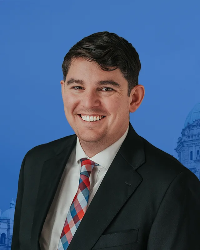
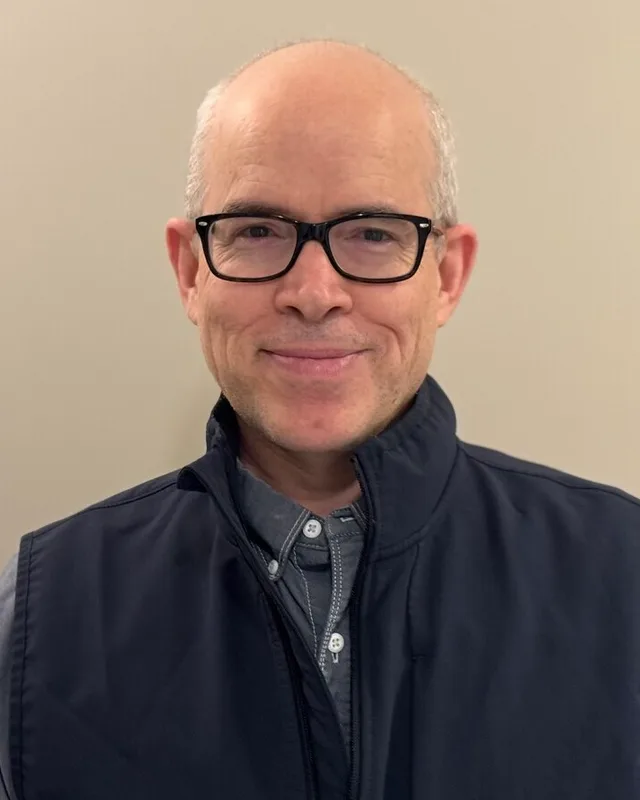
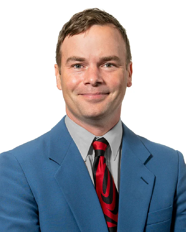
Elections BC's results file and its volume for 2002 to 2013 print results under Vancouver-West End from 2009. Spencer Chandra Herbert of the BC NDP won in 2009 with 9,926 votes (56.51%), in 2013 with 10,755 (56.81%), in 2017 with 13,420 (60.97%) and in 2020 with 12,439 (62.31%). In 2024 he won with 13,143 votes (63.01%). Jon Ellacott of the Conservative Party received 5,677 (27.22%), Eoin O'Dwyer of the BC Green Party 1,893 (9.08%) and Carl Turnbull, an independent, 144 (0.69%). Turnout was 53.56% of 39,011 registered voters. The legislature's record lists Chandra Herbert for the 39th to the 43rd Parliament and says the 43rd was dissolved on September 22, 2026. The 2002 to 2013 volume prints his name as Spencer Herbert for 2009 and as Spencer Chandra Herbert for 2013.
The 2002 to 2013 volume links the name Vancouver-West End to a district called Vancouver-Burrard: its member index lists Herbert's 2009 win under Vancouver-Burrard, while its 2009 results table prints Vancouver-West End. The volume for 1987 to 2001 prints Emery Barnes of the New Democratic Party as the winner in 1991 with 9,725 votes (50.93%), Tim Stevenson of the New Democratic Party in 1996 with 10,646 (49.70%) and Lorne Mayencourt of the Liberal Party in 2001 with 11,396 (48.11%). The legislature's record lists the same three names for the 35th, 36th and 37th Parliaments.
For 2005 the two records differ. The volume for 2002 to 2013 prints Mayencourt as the winner on 17 May 2005 with 12,009 votes (42.16%), ahead of Stevenson with 11,998 (42.12%). It prints that Mayencourt resigned on September 12, 2008, and that Spencer Herbert won the by-election of October 29, 2008 with 6,998 votes (50.67%), ahead of Arthur Griffiths of the Liberal Party with 5,089 (36.85%). The legislature's record of the 38th Parliament lists only Spencer Chandra Herbert for Vancouver-Burrard, with no Mayencourt. This profile chooses neither account. The same index lists Herbert's 2008 by-election win under Vancouver-West End, while the by-election table prints Vancouver-Burrard. The sources read for this profile do not say when or why the name changed.
“Elected as” is the affiliation Elections BC printed with the winning result. The last column is the party the legislature’s records give for that parliament, which differs when a member changed party while in office. A row with that column empty is a winner Elections BC prints whom the legislature’s records leave out. Source: Legislative Assembly of British Columbia (opens in a new tab)
Boundaries since 2024
Vancouver-West End has 61 voting areas. 61 of them overlap the district of the same name used from 2017 to 2024.Others overlap these districts from 2017 to 2024: Vancouver-False Creek (1), Vancouver-Mount Pleasant (1).
The commission that drew the boundaries counted 57,332 people in the district, 6.6% above the average for a district, over 14 km².
Where is the Vancouver-West End electoral district?
Vancouver-West End is in downtown Vancouver, on the peninsula between English Bay and Burrard Inlet. The Electoral Boundaries Commission's 2023 report says its boundaries follow English Bay and False Creek, Burrard Inlet and Coal Harbour, and Burrard Street in the east. The district covers 14 square kilometres, and the 2021 census counted 57,335 people in it.
Which communities are in Vancouver-West End?
Vancouver-West End covers the West End, Davie Village, Coal Harbour and Stanley Park, as the Electoral Boundaries Commission's report names them. The City of Vancouver adds Denman Street to its description of the West End. Elections BC lists nine places where people voted in the district in 2024, including the West End Community Centre and the Coal Harbour Community Centre.
Who is the MLA for Vancouver-West End?
Spencer Chandra Herbert of the BC NDP won Vancouver-West End in 2024 with 13,143 votes (63.01%). The legislature's record lists him for the 39th to the 43rd Parliament and says the 43rd Parliament was dissolved on September 22, 2026. For the 38th Parliament the record lists him for Vancouver-Burrard.
How did Vancouver-West End vote in the 2024 provincial election?
In 2024 Vancouver-West End elected Spencer Chandra Herbert of the BC NDP, who received 13,143 votes (63.01%). Jon Ellacott of the Conservative Party received 5,677 votes (27.22%), Eoin O'Dwyer of the BC Green Party 1,893 (9.08%) and Carl Turnbull, an independent, 144 (0.69%). Turnout was 53.56% of 39,011 registered voters.
Did the 2023 boundary review change Vancouver-West End?
The commission's 2023 final report kept the name Vancouver-West End and gives the same figures before and after: 57,332 people and 14 square kilometres. Elections BC's conversion table lists 61 voting areas of the district overlapping the former Vancouver-West End, 1 overlapping Vancouver-False Creek and 1 overlapping Vancouver-Mount Pleasant. The neighbouring Vancouver-Yaletown has Burrard Street as its western border.
Who lives in Vancouver-West End?
The 2021 census counted 57,335 people in Vancouver-West End, with a median age of 39.6 against 42.8 for British Columbia. Of the homes in the district, 22.3% are owned and 77.7% are rented. The census counts 40.3% of residents as immigrants, and 55.1% gave English as their first language, followed by Iranian Persian at 5.5%.
Whose traditional territory is Vancouver-West End on?
Vancouver-West End lies on waters that three Nations each describe as part of their territory. The Squamish Nation says its territory includes Burrard Inlet and English Bay. The Tsleil-Waututh Nation, whose name means People of the Inlet, says its people have lived in its territory for thousands of years. Musqueam draws its territory around the watershed that drains into English Bay, Burrard Inlet and Indian Arm.
When did Stanley Park open?
Stanley Park, which lies inside Vancouver-West End, had its grand opening in 1888, according to the Park Board. The Park Board describes it as a 400-hectare forest and says the seawall around it was declared complete on September 21, 1980. Parks Canada says the federal government leased the reserve of 385 hectares to the City of Vancouver in 1888.
What is Davie Village?
Davie Village is the stretch of Davie Street in the West End that became the centre of Vancouver's gay community in the 1970s. The Vancouver Heritage Foundation's plaque text places it on the blocks between Burrard and Jervis Streets. The City of Vancouver says the Pride Parade follows a route through the West End and ends at Sunset Beach. All of this lies in Vancouver-West End.
What is the Coal Harbour plan of 1990?
The Coal Harbour Official Development Plan was adopted by the City of Vancouver's By-law No. 6754 on November 6, 1990, for the Coal Harbour part of Vancouver-West End. It describes the harbour as one of the original maritime centres of the city and divides the land into Marina Quay, Harbour Green and Burrard Landing. The plan requires at least 6.48 hectares of public open space and parks.