This district elects one MLA. Voters mark one name on Saturday, October 24, 2026, and the candidate with the most votes wins the seat.
Surrey City Centre is a provincial electoral district in the downtown core of Surrey, on the south side of the Fraser River. The Electoral Boundaries Commission says it contains the Bridgeview neighbourhood, Green Timbers Urban Forest Park and the area south of Surrey Memorial Hospital. The 2021 census counted 57,175 people in its 17 square kilometres, and 50% of them are immigrants.
Surrey City Centre lies in the north of the City of Surrey, on the south side of the Fraser River. The Electoral Boundaries Commission's 2023 final report says the district is situated in Surrey's downtown core. Its northern boundary follows the Fraser River and its southern boundary follows 88th Avenue. In the east the boundary follows Quibble Creek Greenway, Bon Accord Creek and Invergarry Park to 148th Street. In the west it follows 132nd Street and Bridgeview Drive. The commission gives the area as 17 square kilometres and the population as 57,566, which is 7.1% from the average district.
The report names three parts of the district: the Bridgeview neighbourhood, Green Timbers Urban Forest Park and the area south of Surrey Memorial Hospital. The City of Surrey describes its City Centre as the area between 132 Street and 140 Street, from 94 Avenue in the south to 112 Avenue in the north, surrounded by the larger town centre of Whalley. The City lists City Hall, Civic Plaza, the City Centre Library, SFU Surrey, Holland Park and the Surrey Central and King George stations of the Expo Line SkyTrain there.
Elections BC's 2024 results file lists eight voting places inside the district: A.H.P. Matthew Elementary School, Creekside Elementary School, Forsyth Road Elementary School, James Ardiel Elementary School, Queen Elizabeth Secondary School, the SFU Surrey Engineering Building, Surrey Alliance Church and the Ukrainian Orthodox Cultural Centre. The commission's map of the district labels King George Boulevard, Whalley Boulevard, University Drive, Old Yale Road and Fraser Highway. It also labels Bolivar Park, Hawthorne Park, Invergarry Park and Green Timbers Urban Forest Park.
The City of Surrey says its City Centre area is on the traditional territory of the Coast Salish people, including the Katzie, Kwantlen and Semiahmoo nations, who have ancient and ongoing ties to this place. Each Nation describes its own territory. The Katzie First Nation says it has lived in its territory for thousands of years, and that the places now called Pitt Meadows, Maple Ridge, Surrey, Langley and Delta carry ancient Katzie names for the sites where its ancestors lived and worked. The Kwantlen First Nation says its traditional territory extends from Richmond and New Westminster in the west to Surrey and Langley in the south, east to Mission, and to the northernmost reaches of Stave Lake.
The Semiahmoo First Nation says its people have inhabited extensive territory across Washington state, the Strait of Georgia and the Lower Mainland of British Columbia for thousands of years, and that its members on the Canadian side live on the Semiahmoo Reserve in South Surrey. The Canadian Encyclopedia says the Kwantlen and Semiahmoo people, part of the Straits Salish group, have lived in the Fraser River and Boundary Bay area for more than 6,000 years.
BC Geographical Names records that Surrey was incorporated on 10 November 1879 as The Corporation of the District of Surrey, and that it was re-incorporated as a city on 11 September 1993. The record gives the origin of the name as Surrey in England and quotes the recollections of several early residents, who name different people as the source of the choice. The Canadian Encyclopedia says an early pioneer named the district after Surrey County in England. The City of Surrey adds that the district municipality became the largest geographical municipality in British Columbia in 1882.
The City says settlers began pre-empting land near today's City Centre as early as the 1880s, when the area was a rural farming and logging community. The Green Timbers Heritage Society says the road that crosses Green Timbers began as the Yale Wagon Road to the interior, built by a company of Royal Engineers in 1875.
The Pacific Highway and the Green Timbers forest, 1923 to 1930
The Green Timbers Heritage Society says the Yale Wagon Road was renamed the Pacific Highway in 1923, when Surrey was linked by road to Blaine in Washington State. The forest beside it once covered 5,000 acres. Until 1929 people travelled from afar to see the 200-foot trees along the highway. The King and Farris Company logged the forest for seven years to supply its sawmill in Newton, and the last giant trees were felled in 1930 despite a campaign to save them.
The BC Forest Service began replanting on 15 March 1930 with an Inaugural Plantation. Canada's Historic Places register says community leaders sponsored the planting of 121 seedlings that day and calls it the first reforestation project in British Columbia. Twenty-seven trees from that planting survive. The City of Surrey's heritage register says a tree nursery and a forest training school were set up on the site at the same time as unemployment relief projects during the Depression, and that the Green Timbers Nursery is the oldest Forest Service nursery. The City says the arboretum planted there in the 1930s has more than 70 tree species.
Whalley's Corner and the Pattullo Bridge, 1925 to 1963
The City of Surrey says Whalley takes its name from Arthur Whalley, who settled near the corner of King George Boulevard and 108 Avenue in 1925, and that the area was then known as Whalley's Corner. BC Geographical Names gives the same origin and adds that a stop of the Pacific Stages bus line at the intersection of Ferguson and Bergstrom Roads was called Whalley's Corner. The name Whalley (Post Office) was adopted on 5 August 1948.
The City says the Pattullo Bridge opened in November 1937 and gave the impetus for more rapid settlement of North Surrey. When the bridge tolls were removed in 1952, the Whalley and City Centre area saw a major commercial and residential building boom. Three entries on the City's heritage register date from those years. The Goodmanson Building on King George Boulevard was built in 1949 following rapid development along King George Highway as the commercial focus for Whalley. St. Mary's Ukrainian Orthodox Church on 135A Street was built between 1950 and 1955. A neon sign of a rickshaw and its driver on King George Boulevard was built circa 1963 and was one of three Rickshaw Restaurant signs in the Lower Mainland.
The Green Timbers Heritage Society says that in 1966 a part of the forest reserve, 33 acres, became the site of Douglas College. In 1970 a trade transferred 400 acres to the City of Surrey. The city then cut 100 Avenue through the forest and widened and extended 96 Avenue to 140 Street. In 1987 the public objected when 42 acres were cleared for a sports complex, and the society was formed to save that area. Its membership reached 1,000, and after eight years of lobbying the 42 acres were designated part of Green Timbers.
The society says two referendums secured the rest of the forest as an urban forest park. The first, in 1988, won an 86% yes vote. The second, in 1996, won a 95% yes vote and added 53.3 acres north of 100 Avenue. The society puts the forest at 560 acres in total, counting the Ministry of Forests area. Canada's Historic Places register records the Inaugural Plantation as formally recognized by local government on 12 January 2004.
The City of Surrey says four SkyTrain stations opened in Surrey in 1994, with three of them in City Centre, and that this laid the foundation for a more urban framework. The Downtown Surrey Business Improvement Association, first called the Whalley Business Improvement Association, was formed in 2003 and now has more than 1,400 members.
Simon Fraser University opened a temporary campus in 2002 in Central City Mall, in space that TechBC had used and that was once a Zellers store. In 2006 it moved into its permanent space in the Central City complex, designed by the architect Bing Thom. The City says it redeveloped Holland Park in the mid 2000s, that the park became one of the province's Spirit Squares in 2008 for British Columbia's 150th anniversary, and that it was a celebration site during the 2010 Winter Olympic Games.
The Surrey Now-Leader reported on 20 February 2014 that the new city hall at 13450 104 Avenue was open for business, with all city services available from the set opening date of 17 February. The paper gave the cost as $97 million, the size as 180,000 square feet and the staff housed there as 750. The City says its Council endorsed a new plan for City Centre in 2017.
Surrey City Centre is a new name. Bill 25 of 2023, the Electoral Districts Act, lists it among 93 electoral districts. The Legislative Assembly's copy is certified as passed at third reading on 25 April 2023, and the Act comes into force on the day the 42nd Parliament is dissolved. The Electoral Boundaries Commission's final report of 3 April 2023 proposed adding an electoral district to the centre of Surrey, adjusting the boundaries of Surrey-Whalley and Surrey-Green Timbers, and creating a riding centred on the downtown core. Elections BC's conversion table matches the district's 59 voting areas to the 2017 to 2024 districts: 43 in Surrey-Whalley, 16 in Surrey-Green Timbers and 2 in Surrey-Guildford.
Elections BC's volume for 1871 to 1986 first prints Surrey-Guildford-Whalley at the 34th general election on 22 October 1986. Joan Kathleen Smallwood of the NDP won it with 11,049 votes (42.32%), ahead of John Marvin Hunt of the Social Credit Party with 10,891 (41.71%). The volume for 1987 to 2001 prints Surrey-Whalley and Surrey-Green Timbers as separate districts from the 1991 election. In Surrey-Whalley, Smallwood won in 1991 with 7,243 votes (47.77%) and in 1996 with 7,396 (50.14%). Elayne Brenzinger of the Liberal Party won in 2001 with 6,693 votes (45.73%). Bruce Ralston of the BC NDP won there in 2005, 2009, 2013, 2017 and 2020, and in 2020 he received 10,994 votes (70.94%).
In Surrey-Green Timbers, Sue Hammell of the NDP won in 1991 with 8,708 votes (46.16%) and in 1996 with 10,278 (50.11%). Brenda Locke of the Liberal Party won in 2001 with 7,539 votes (48.95%), while Hammell received 5,592 (36.31%). Hammell won again in 2005, 2009 and 2013. Rachna Singh of the BC NDP won in 2017 and 2020.
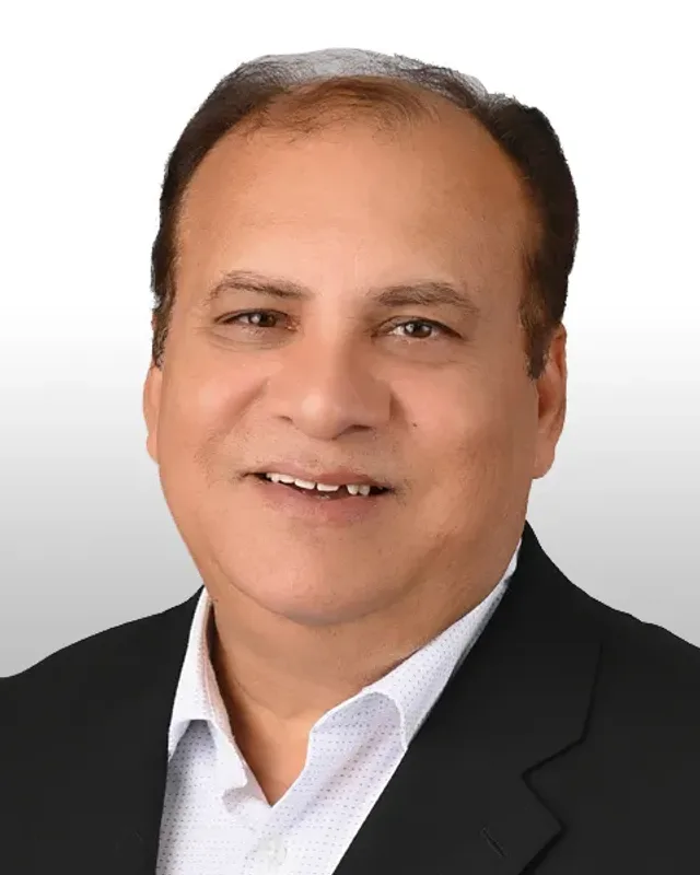
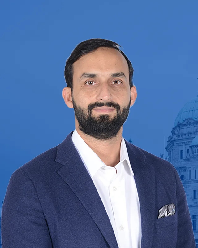
The 2024 provincial general election was the first held under the name Surrey City Centre. Amna Shah of the BC NDP won with 6,726 votes (46.7%). Zeeshan Wahla of the Conservative Party received 6,494 (45.08%), Colin Boyd of the BC Green Party 877, Saeed Naguib as an Independent 160 and Ryan Abbott of the Communist Party of BC 147. Turnout was 44.82% of 32,195 registered voters.
Members for Surrey-Whalley, which covered 43 of this district’s 59 voting areas before 2024
Parliament
It sat
Member
Elected as
Party on the legislature’s record
42nd
2020 to 2024
Bruce Ralston
BC NDP
BC NDP
41st
2017 to 2020
Bruce Ralston
BC NDP
BC NDP
40th
2013 to 2017
Bruce Ralston
BC NDP
BC NDP
39th
2009 to 2013
Bruce Ralston
BC NDP
BC NDP
38th
2005 to 2009
Bruce Ralston
BC NDP
BC NDP
36th
1996 to 2001
Joan Smallwood
BC NDP
35th
1992 to 1996
Joan Smallwood
BC NDP
Members for Surrey-Green Timbers, which covered 16 of this district’s 59 voting areas before 2024
Parliament
It sat
Member
Elected as
Party on the legislature’s record
42nd
2020 to 2024
Rachna Singh
BC NDP
BC NDP
41st
2017 to 2020
Rachna Singh
BC NDP
BC NDP
40th
2013 to 2017
Sue Hammell
BC NDP
BC NDP
39th
2009 to 2013
Sue Hammell
BC NDP
BC NDP
38th
2005 to 2009
Sue Hammell
BC NDP
BC NDP
37th
2001 to 2005
Brenda Locke
BC Liberal Party
36th
1996 to 2001
Sue Hammell
BC NDP
35th
1992 to 1996
Sue Hammell
BC NDP
“Elected as” is the affiliation Elections BC printed with the winning result. The last column is the party the legislature’s records give for that parliament, which differs when a member changed party while in office. A row with that column empty is a winner Elections BC prints whom the legislature’s records leave out. Source: Legislative Assembly of British Columbia (opens in a new tab)
Boundaries since 2024
Surrey City Centre has 59 voting areas. They overlap these districts from 2017 to 2024: Surrey-Whalley (43), Surrey-Green Timbers (16), Surrey-Guildford (2).
The commission that drew the boundaries counted 57,566 people in the district, 7.1% above the average for a district, over 17 km².
Surrey City Centre is a provincial electoral district in the downtown core of Surrey, British Columbia. The Electoral Boundaries Commission's 2023 final report gives its area as 17 square kilometres. Its northern boundary follows the Fraser River, its southern boundary follows 88th Avenue, its western boundary follows 132nd Street and Bridgeview Drive, and its eastern boundary reaches 148th Street.
Which communities are in Surrey City Centre?
Surrey City Centre contains the Bridgeview neighbourhood, Green Timbers Urban Forest Park and the area south of Surrey Memorial Hospital, according to the Electoral Boundaries Commission's 2023 final report. The City of Surrey describes the City Centre as the area between 132 Street and 140 Street, surrounded by the larger town centre of Whalley, with City Hall, the City Centre Library and SFU Surrey.
Who won Surrey City Centre in the 2024 provincial election?
Amna Shah of the BC NDP won Surrey City Centre in 2024 with 6,726 votes, 46.7% of the valid vote. Zeeshan Wahla of the Conservative Party received 6,494 votes, Colin Boyd of the BC Green Party 877, Saeed Naguib as an Independent 160 and Ryan Abbott of the Communist Party of BC 147. Turnout was 44.82% of 32,195 registered voters.
Who represented this part of Surrey before Surrey City Centre existed?
Most of the area was in Surrey-Whalley, where Bruce Ralston of the BC NDP was the member from 2005 to 2024. Elections BC's conversion table places 43 of the 59 voting areas of Surrey City Centre in Surrey-Whalley. Another 16 were in Surrey-Green Timbers, where Rachna Singh of the BC NDP was the member from 2017 to 2024.
When was the Surrey City Centre electoral district created?
The Electoral Districts Act, Bill 25 of 2023, created Surrey City Centre as one of 93 electoral districts. The Legislative Assembly's copy is certified as passed at third reading on 25 April 2023. The Act takes effect when the 42nd Parliament is dissolved, so the 2024 provincial general election was the first held in Surrey City Centre under this name.
How did the boundaries of Surrey City Centre change in 2023?
Surrey City Centre is a new district made from parts of three earlier ones. Elections BC's conversion table matches its 59 voting areas to Surrey-Whalley with 43, Surrey-Green Timbers with 16 and Surrey-Guildford with 2. The Electoral Boundaries Commission counts 57,566 people in the district, which is 7.1% from the average district population.
How many people live in Surrey City Centre and what languages do they speak?
The 2021 census counted 57,175 people in Surrey City Centre, with a median age of 35.6 compared with 42.8 across British Columbia. English was the first language of 35.8% of residents and Punjabi of 19.9%, followed by Tagalog at 5%, Mandarin at 4.2% and Hindi at 3.6%. Immigrants made up 50% of the population.
Whose traditional territory is Surrey City Centre on?
The City of Surrey says the City Centre area is on the traditional territory of the Coast Salish people, including the Katzie, Kwantlen and Semiahmoo nations. The Kwantlen First Nation says its traditional territory extends from Richmond and New Westminster to Surrey and Langley in the south. The Katzie First Nation lists Surrey among the places that carry ancient Katzie names.
How did Whalley, part of Surrey City Centre, get its name?
Whalley is named after Arthur Whalley, who settled near the corner of King George Boulevard and 108 Avenue in Surrey City Centre in 1925, according to the City of Surrey. The area was then called Whalley's Corner. BC Geographical Names records that the name Whalley (Post Office) was adopted on 5 August 1948.
What is Green Timbers in Surrey City Centre?
Green Timbers is an urban forest park inside Surrey City Centre. The BC Forest Service began replanting the logged forest on 15 March 1930 with an Inaugural Plantation, which Canada's Historic Places register calls the first reforestation project in British Columbia. The Green Timbers Heritage Society says two referendums, in 1988 and 1996, secured the forest as a park.