New storm warnings for Vancouver Island and coastal BC as flood-hit communities recover
Environment Canada has issued wind and rain warnings for most of Vancouver Island and the Sunshine Coast, with gusts up to 110 km/h and up to 150 mm of rain expected as communities already under evacuation alerts brace for more.
Long read. The subject the most local outlets covered that day, with the public record behind it. Every outlet and record is linked under the story. Read the original report on cheknews.ca.
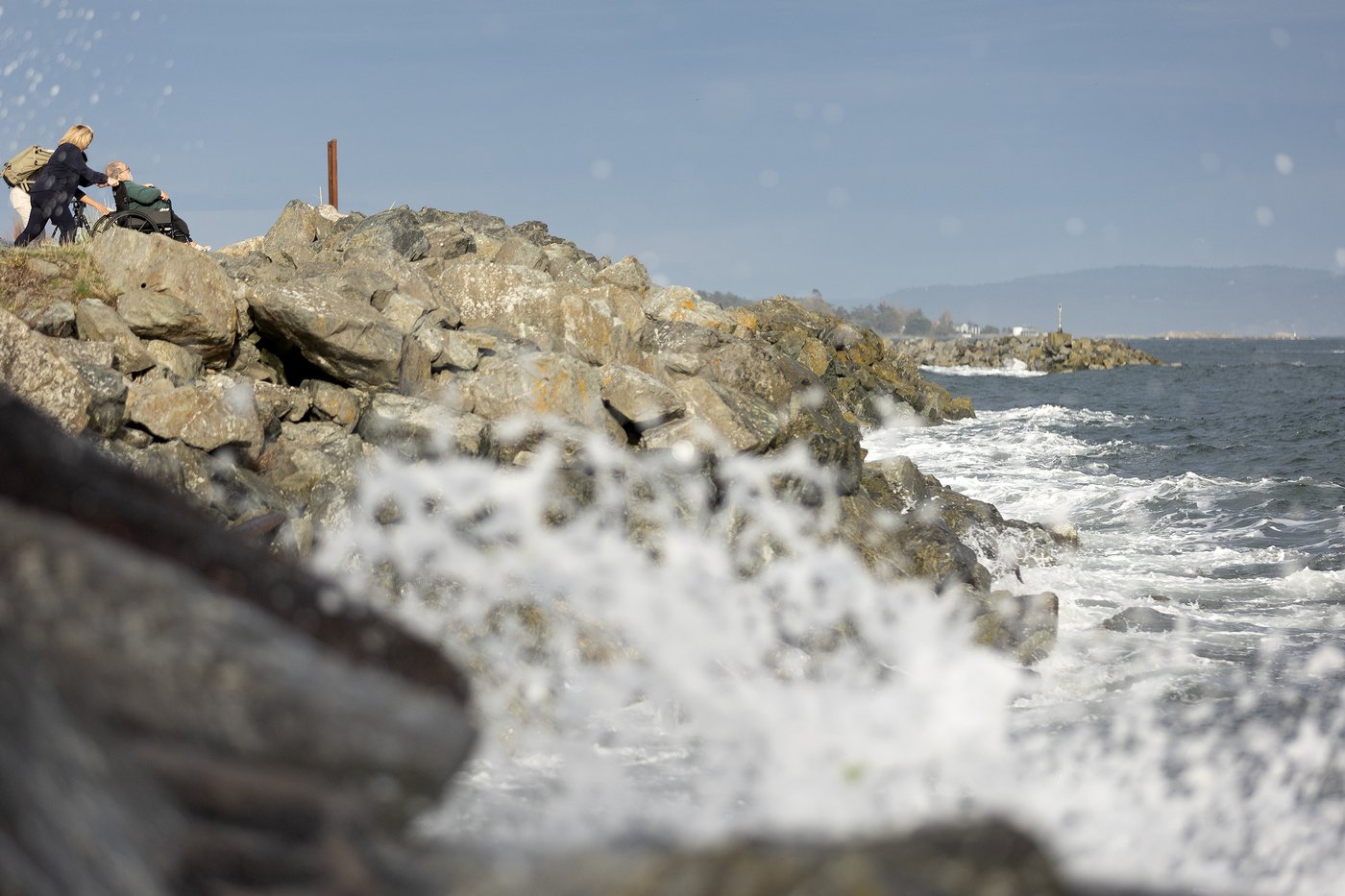
A new storm is arriving on the southern coast of British Columbia today, bringing wind and rain warnings to communities still under evacuation orders from last week's deadly flooding. Environment Canada has issued warnings for most of Vancouver Island and the Sunshine Coast, with gusts up to 110 km/h and rainfall of 80 to 150 mm in some areas, according to CHEK News.
The latest storm arrives days after an atmospheric river brought flooding that killed three people in the Squamish River and forced evacuations across the Sea-to-Sky corridor. The ground across coastal BC is saturated, and the BC River Forecast Centre says high streamflow advisories remain in effect for Vancouver Island, the Sea-to-Sky and Howe Sound region, and the Pemberton Valley.
What warnings are in effect
Environment Canada has issued wind warnings and rain warnings for most of Vancouver Island. CHEK News reported on November 14, 2026, that wind gusts of 70 to 90 km/h are forecast for coastal sections along the Strait of Georgia, with gusts up to 110 km/h on the North and West Vancouver Island coast and Haida Gwaii. The same areas face 80 to 150 mm of rain, with 60 to 120 mm forecast for Tofino and the south island.
Environment Canada cautioned that "water will likely pool on roads and in low-lying areas" and that residents should watch for washouts near waterways and culverts and prepare for possible power outages.
A separate coastal flooding statement covers Metro Vancouver today. Environment Canada says storm surge could cause coastal flooding in low-lying and exposed areas from Boundary Bay to Semiahmoo Bay, with peak water levels expected between 10 am and noon during high tide. Winds gusting 60 to 80 km/h are forecast for the area.
A rainfall warning is in effect for the Sea-to-Sky region, covering Howe Sound from Squamish to Whistler, with 40 to 70 mm of rain expected on top of already-saturated ground, raising the risk of sudden road hazards and washouts near waterways.
Who is still under evacuation orders
Emergency Info BC shows several communities under active orders and alerts as of November 13, 2026.
In the Pemberton area, the Village of Pemberton issued an evacuation order for Airport Road and an evacuation alert for the whole village. The Squamish-Lillooet Regional District also has an evacuation alert covering the Pemberton Valley in Electoral Area C. Nanaimo News NOW reported on November 14, 2026, that the Líl̓wat First Nation had lifted most of its evacuation orders but that 18 properties remained under orders.
Near Lillooet, the Líl̓wat Nation has an evacuation order covering Kwetsa7 along the Lillooet River to Lillooet Lake, with an evacuation alert for Lillooet Lake Estates and Heather Jean Properties in Electoral Area C.
In Zeballos, some properties remain under both an evacuation order and an evacuation alert, issued by the Village of Zeballos as of November 8, 2026, following a landslide triggered by earlier storms.
The power situation in Zeballos
CHEK News reported that Zeballos has been without power for seven days, since a storm struck on November 7. BC Hydro attempted to fly a crew into the area on Saturday November 14 to repair fallen trees on the power lines, but was turned back by bad weather. Wind warnings of up to 110 km/h were forecast for Saturday night, delaying further repair attempts.
BC Hydro reports 203 customers in Zeballos without power. The community and the nearby Ehattesaht First Nation are relying on generators. One resident told CHEK News: "We're kind of struggling because people have got to shop and people don't really want to leave town because they have to tend to their generators."
A landslide triggered by the storms also reached residential areas in Zeballos, with debris flow affecting several properties under evacuation orders.
What the river forecast says
The BC River Forecast Centre updated its advisories on November 13, 2026. Three areas remain under high streamflow advisories: North, West, and Central Vancouver Island; the South Coast including the Sea-to-Sky corridor and Howe Sound; and the Pemberton Valley. The centre ended earlier advisories for the Fraser Canyon, Chilcotin, Fraser Valley, Kingcome River, and Southern Vancouver Island on the same day.
The advisories reflect rivers still running high after last week's atmospheric river. New rainfall on saturated ground raises the risk of rapid rises in rivers and streams.
What the incoming government has promised
The Conservative Party of BC's 2026 platform, at pages 25, 42, and 58, promises to build dikes, drainage, and water storage for the Fraser Valley, the Interior, and the coast against flood, drought, and heat. The platform also commits to better readiness for floods and drought as a capital commitment. Premier-designate Lorne Doerkson's government has not yet been sworn in, so none of these promises has been acted on. The platform's flood protection commitments are tracked at voche.me.
What residents can do
Residents under active evacuation orders must leave immediately. Those under evacuation alerts should prepare an emergency kit and be ready to leave on short notice if the alert is upgraded to an order. The province's emergency alerts site at emergencyinfobc.gov.bc.ca lists every active order and alert and updates them as conditions change. DriveBC has current road closure information for affected areas. Environment Canada's warnings cover Saturday evening through Sunday morning, with winds expected to ease by Sunday morning on Vancouver Island, though Haida Gwaii faces a second wind surge around noon Sunday.
Questions this story answers
What weather warnings are in effect for Vancouver Island on November 15, 2026?
Environment Canada has issued wind warnings and rain warnings for most of Vancouver Island. CHEK News reported on November 14, 2026, that wind gusts of 70 km/h to 90 km/h are expected along the Strait of Georgia, with gusts up to 110 km/h on coastal sections of North and West Vancouver Island. Rainfall of 80 to 150 mm is forecast for areas including Zeballos, Gold River, and Port Alice, and 60 to 120 mm for Tofino and southern areas. Environment Canada warned that water will pool on roads and in low-lying areas, and to watch for washouts near waterways.
Which areas are under evacuation orders or alerts as of November 15, 2026?
Emergency Info BC shows several communities under active orders and alerts as of November 13, 2026. In the Pemberton area: Airport Road in the Village of Pemberton is under an evacuation order, the entire Village of Pemberton is under an evacuation alert, and the Pemberton Valley in Electoral Area C is under an evacuation alert, all issued by the Village of Pemberton and the Squamish-Lillooet Regional District. Near Lillooet, the Líl̓wat Nation has an evacuation order covering Kwetsa7 along the Lillooet River to Lillooet Lake, with an alert for Lillooet Lake Estates. Some properties in Zeballos remain under both an evacuation order and an evacuation alert, issued by the Village of Zeballos.
What happened in Squamish and Pemberton last week?
An atmospheric river brought heavy rain to coastal BC in early November 2026. Three people died in the Squamish River on a day when their boat overturned following days of heavy rain and flooding, according to Nanaimo News NOW. The District of Squamish urged residents to be cautious as the community managed flood aftermath. Pemberton remained under evacuation alert, with the Líl̓wat First Nation having lifted most evacuation orders but keeping 18 properties under orders as of November 14.
What is the current status of river flood warnings in BC?
The BC River Forecast Centre updated its advisories on November 13, 2026. High streamflow advisories are in effect for three areas: Vancouver Island (North, West, and Central), the South Coast including the Sea-to-Sky and Howe Sound areas, and the Pemberton Valley. Several earlier advisories were ended on November 13, including those for the Fraser Canyon, Chilcotin, Fraser Valley, Kingcome River, and Southern Vancouver Island.
What is happening with the power outage in Zeballos?
CHEK News reported on November 15, 2026, that Zeballos has been without power for seven days following a storm on November 7. BC Hydro attempted to fly a crew into the mountainous terrain on Saturday November 14 but was forced to turn back because of bad weather. Wind warnings of up to 110 km/h were forecast for Saturday night, delaying further attempts. BC Hydro reports 203 customers in Zeballos without power, with the community and the nearby Ehattesaht First Nation relying on generators.
Is there a coastal flooding risk for Metro Vancouver on November 15?
Yes. Environment Canada issued a coastal flooding statement for Metro Vancouver on November 15, 2026, warning of possible coastal flooding from storm surge. The statement covers low-lying and exposed coastal areas from Boundary Bay to Semiahmoo Bay, with peak water levels expected between 10 am and noon during high tide and winds gusting 60 to 80 km/h.
What has the incoming Conservative government promised about flood protection?
The Conservative Party of BC's 2026 platform promises to build dikes, drainage, and water storage for the Fraser Valley, the Interior, and the coast against flood, drought, and heat. Pages 25, 42, and 58 of the platform commit to better readiness for floods and drought and list flood protection among capital commitments. The government has not yet been sworn in, so none of these promises has been acted on.
What should residents in affected areas do right now?
Residents under evacuation orders must leave immediately. Residents under evacuation alerts should be ready to leave on short notice and prepare an emergency kit. Environment Canada's warning says to watch for washouts near waterways, avoid flooded roads, and prepare for possible power outages. The province's emergency alerts system is at emergencyinfobc.gov.bc.ca, and DriveBC has road closure information.
Sources
The pages this story draws on. Open one to check a claim yourself.
- CHEK News: Vancouver Island wind and rain warnings, November 14, 2026cheknews.ca
- Nanaimo News NOW: Rain, wind and flood alerts for coastal BC, November 14, 2026nanaimonewsnow.com
- Emergency Info BC: Active evacuation orders and alertsemergencyinfobc.gov.bc.ca
- BC River Forecast Centre: Current warnings and advisoriesbcrfc.env.gov.bc.ca
- Environment Canada: Coastal flooding statement, Metro Vancouver, November 15, 2026weather.gc.ca
Found an error? Tell the editors with the corrections form. A correction is noted on the story it changes. Read our standards.
Topics
More from voche.me